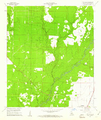
1960 Map of Pine Chapel
USGS Topo · Published 1961About this map
The winding Calcasieu River dominates this portion of Allen Parish, carving a deep, wooded corridor through the Louisiana piney woods. In the early 1960s, the landscape shows a clear divide between the dense timberlands and the burgeoning energy and rail infrastructure of the Gulf South. To the east, the Missouri Pacific railroad tracks run parallel to local development, connecting the rural communities to larger trade hubs.
Find a feature on this map
13 named features on this map. Tap any name to fly to it.
Don’t see what you’re looking for? This feature index may not catch every label — zoom into the map to look around manually.
Map Details
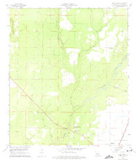
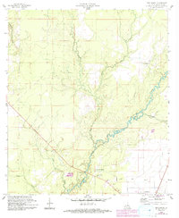
Editions of this 1960 Pine Chapel Map
3 editions found
Other maps of this area

1935 · Mittie
USGS Topo · 1:31,680

1935 · Oakdale
USGS Topo · 1:31,680

1942 · Oakdale
USGS Topo · 1:62,500

1947 · Foley
USGS Topo · 1:31,680

1947 · Oberlin
USGS Topo · 1:31,680

1947 · Pine Chapel
USGS Topo · 1:31,680

1947 · Le Blanc
USGS Topo · 1:31,680

1947 · Elizabeth
USGS Topo · 1:31,680

1947 · Grant
USGS Topo · 1:31,680

1948 · Grant
USGS Topo · 1:24,000