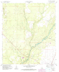
1960 Map of Pine Chapel
USGS Topo · Published 1993About this map
The Calcasieu River defines the landscape of this Allen Parish region, winding through a network of small tributaries and low-lying drainages. Updated through 1993, the survey documents the rural character of the area around Oberlin and the namesake Pine Chapel settlement. The landscape is marked by the presence of industrial activity in the form of several Oil Wells located south of the river, contrasting with the communal centers of Oakland Springs Ch and the nearby Oakland Springs Cem.
Find a feature on this map
12 named features on this map. Tap any name to fly to it.
Don’t see what you’re looking for? This feature index may not catch every label — zoom into the map to look around manually.
Map Details
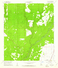
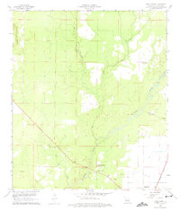
Editions of this 1960 Pine Chapel Map
3 editions found
Other maps of this area

1935 · Mittie
USGS Topo · 1:31,680

1935 · Oakdale
USGS Topo · 1:31,680

1942 · Oakdale
USGS Topo · 1:62,500

1947 · Foley
USGS Topo · 1:31,680

1947 · Oberlin
USGS Topo · 1:31,680

1947 · Pine Chapel
USGS Topo · 1:31,680

1947 · Le Blanc
USGS Topo · 1:31,680

1947 · Elizabeth
USGS Topo · 1:31,680

1947 · Grant
USGS Topo · 1:31,680

1948 · Grant
USGS Topo · 1:24,000