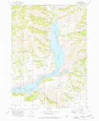
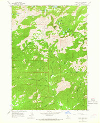
1973 Map of Pine
USGS Topo · Published 1977About this map
The South Fork Boise River Reservoir dominates this Idaho landscape, reflecting the engineering work of the U. S. Bureau of Reclamation. The small settlement of Pine serves as a central point, complete with a Cem, Pine Airstrip, and a Boat Ramp for access to the rising waters. The transition between the Boise National Forest and the Sawtooth National Forest is marked by a network of family-named water sources and landmarks, including McFarney Spring, Cook Spring, and Bainbridge Spring.
Find a feature on this map
56 named features on this map. Tap any name to fly to it.
Don’t see what you’re looking for? This feature index may not catch every label — zoom into the map to look around manually.
Map Details
Editions of this 1973 Pine Map
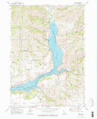
2 editions found
Other maps of this area

1892 · Camas Prairie
USGS Topo · 1:125,000

1893 · Camas Prairie
USGS Topo · 1:125,000

1894 · Rocky Bar
USGS Topo · 1:125,000

1955 · Hailey
USGS Topo · 1:250,000

1959 · Hailey
USGS Topo · 1:250,000

1962 · Hailey
USGS Topo · 1:250,000

1963 · High Prairie
USGS Topo · 1:24,000
1963 · Sprout Mtn
USGS Topo · 1:24,000
1964 · Featherville
USGS Topo · 1:24,000
1964 · Trinity Mtn
USGS Topo · 1:24,000