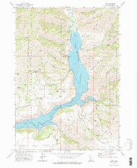
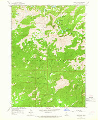
1973 Map of Pine
USGS Topo · Published 1977About this map
The settlement of Pine serves as a focal point along the South Fork Boise River, where the canyon floor begins to fill with the backwaters of the Anderson Ranch Reservoir. By the early 1970s, the landscape here reflects a combination of traditional resource extraction and modern infrastructure, including the Franklin Mine and numerous prospects set against the Boise National Forest. The presence of the Pine Airstrip and a Heliport near the Radio Facility indicates the area's role as a logistical hub for mountain management and fire suppression.
Find a feature on this map
58 named features on this map. Tap any name to fly to it.
Don’t see what you’re looking for? This feature index may not catch every label — zoom into the map to look around manually.
Map Details
Editions of this 1973 Pine Map
2 editions found
Other maps of this area

1892 · Camas Prairie
USGS Topo · 1:125,000

1893 · Camas Prairie
USGS Topo · 1:125,000

1894 · Rocky Bar
USGS Topo · 1:125,000

1955 · Hailey
USGS Topo · 1:250,000

1959 · Hailey
USGS Topo · 1:250,000

1962 · Hailey
USGS Topo · 1:250,000

1963 · High Prairie
USGS Topo · 1:24,000
1963 · Sprout Mtn
USGS Topo · 1:24,000
1964 · Featherville
USGS Topo · 1:24,000
1964 · Trinity Mtn
USGS Topo · 1:24,000