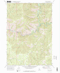
1972 Map of Pine Flat
USGS Topo · Published 1977About this map
Pine Flat Hot Springs and the confluence of the South Fork Payette River and Deadwood River anchor this 1970s survey of Boise County. The map details a landscape defined by sharp elevation changes between Deadwood Ridge and Burns Ridge, where the primitive infrastructure of jeep trails and pack trails provided access to remote mining operations. Local industry is evidenced by several named claims, including the Sleeper Mine and Golden Chariot Mine in the southern half of the quadrangle. Small settlements like Birch Flat and the outskirts of Lowman are visible alongside recreational sites such as Deadwood Campground. The placement of these campgrounds and the Pine Flat Campground suggests the transition of this part of the Boise National Forest toward a recreation-focused economy while still preserving the remnants of its prospecting history at Mammoth Mine.
Find a feature on this map
44 named features on this map. Tap any name to fly to it.
Don’t see what you’re looking for? This feature index may not catch every label — zoom into the map to look around manually.
Map Details
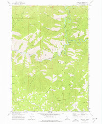
Editions of this 1972 Pine Flat Map
2 editions found
Other maps of this area

1894 · Idaho Basin
USGS Topo · 1:125,000

1909 · Garden Valley
USGS Topo · 1:125,000

1955 · Hailey
USGS Topo · 1:250,000

1957 · Pioneerville
USGS Topo · 1:24,000

1957 · Challis
USGS Topo · 1:250,000

1959 · Hailey
USGS Topo · 1:250,000

1959 · Garden Valley
USGS Topo · 1:62,500

1960 · Challis
USGS Topo · 1:250,000

1962 · Hailey
USGS Topo · 1:250,000

1963 · Challis
USGS Topo · 1:250,000