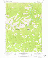
1972 Map of Pine Flat
USGS Topo · Published 1977About this map
Pine Flat Hot Springs sits along the winding corridor of the South Fork Payette River, serving as a central landmark in this 1970s survey of the Boise National Forest. The landscape is defined by the sharp descent of numerous drainages like Deadwood Jim Creek and Slaughterhouse Creek into the river canyon. While the settlement at Lowman anchors the eastern edge of the sheet, the interior is characterized by a network of pack trails and jeep tracks leading to remote industrial sites.
Find a feature on this map
42 named features on this map. Tap any name to fly to it.
Don’t see what you’re looking for? This feature index may not catch every label — zoom into the map to look around manually.
Map Details
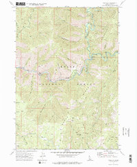
Editions of this 1972 Pine Flat Map
2 editions found
Other maps of this area

1894 · Idaho Basin
USGS Topo · 1:125,000

1909 · Garden Valley
USGS Topo · 1:125,000

1955 · Hailey
USGS Topo · 1:250,000

1957 · Pioneerville
USGS Topo · 1:24,000

1957 · Challis
USGS Topo · 1:250,000

1959 · Hailey
USGS Topo · 1:250,000

1959 · Garden Valley
USGS Topo · 1:62,500

1960 · Challis
USGS Topo · 1:250,000

1962 · Hailey
USGS Topo · 1:250,000

1963 · Challis
USGS Topo · 1:250,000