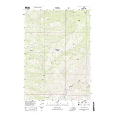
1893 Map of Bear Valley
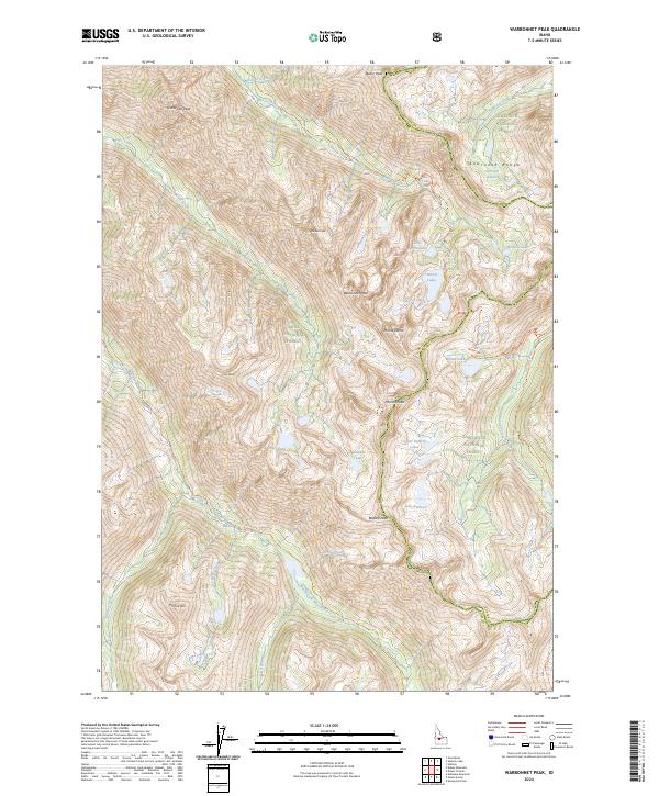
USGS Topo · Published 1938About this map
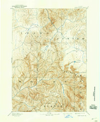
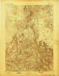
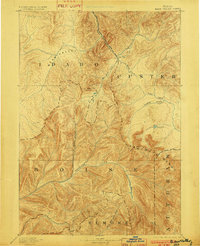
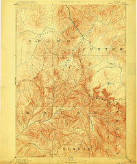
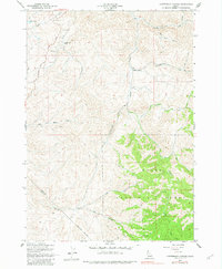
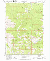
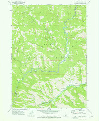
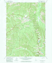
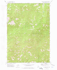
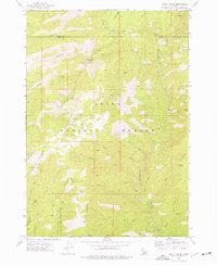
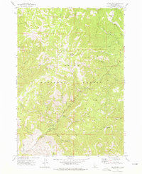
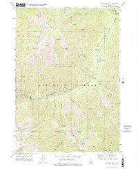
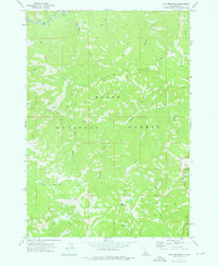
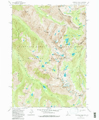
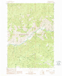
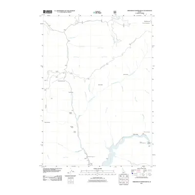
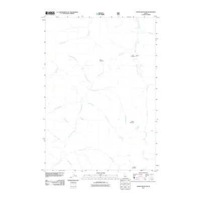
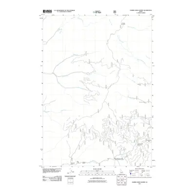
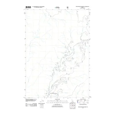
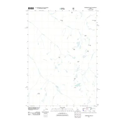
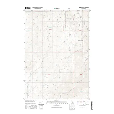
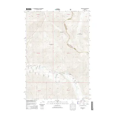
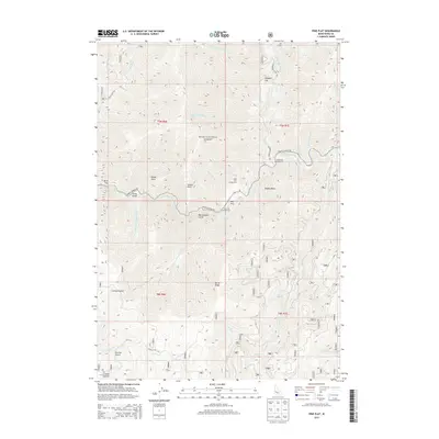
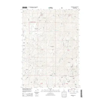
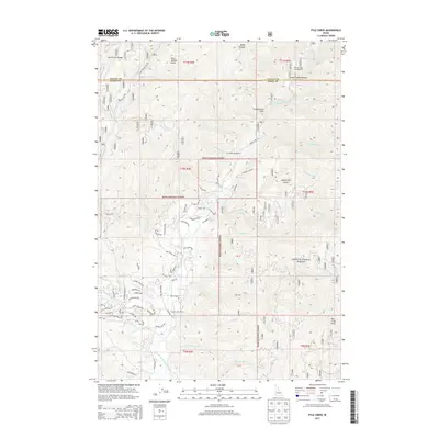
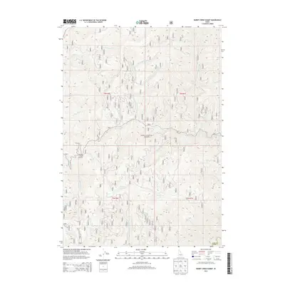
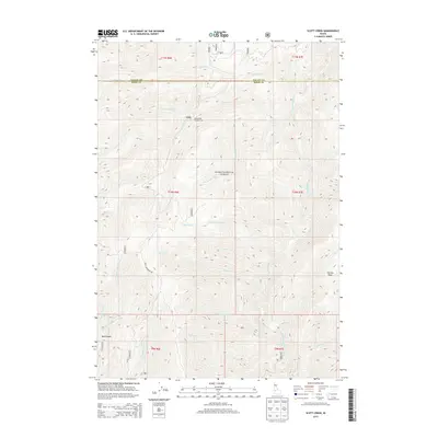
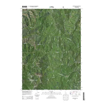
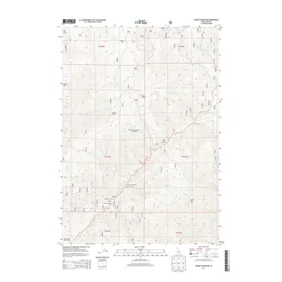
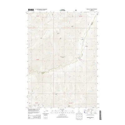
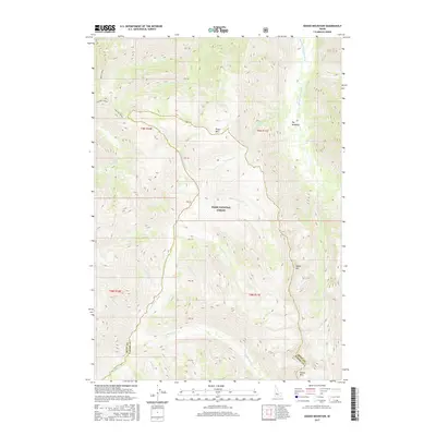
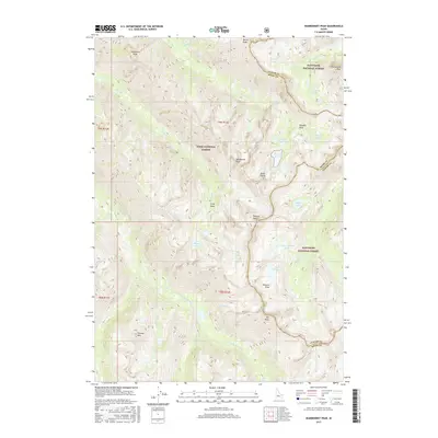
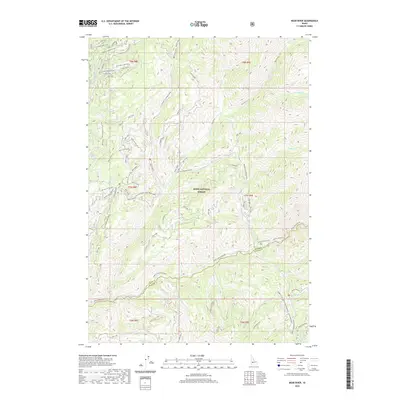
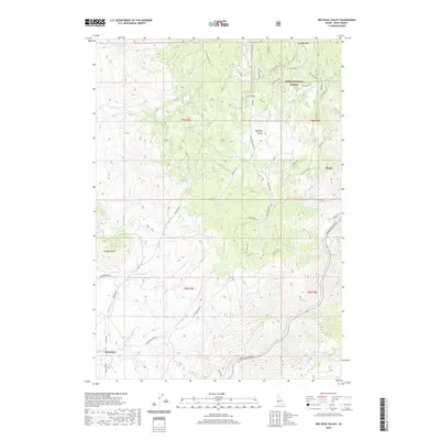
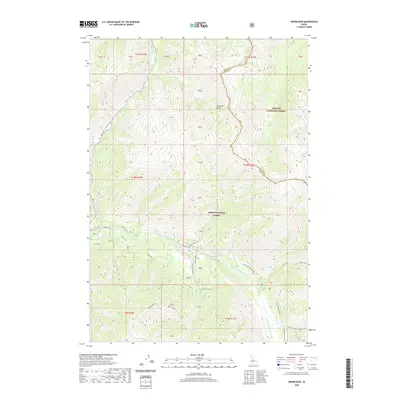
Sawtooth Range peaks dominate the eastern portion of this late nineteenth-century reconnaissance, marking the intersection of Custer, Boise, and Elmore counties. The hydrology of the region is documented through the high-altitude drainage systems of the Middle Fork Salmon River and the Payette River, which define the topography of what was then newly designated national forest land. Geographer A.H. Thompson and topographer E.T. Perkins Jr. recorded a landscape defined by its remote water bodies and mountain passes, such as Stanley Lake and the Cape Horn promontory. The map illustrates the sprawling boundaries of the Payette National Forest and Challis National Forest before the twentieth-century expansion of roads and infrastructure. Tracing the courses of Warm Spring Creek and Fagus Creek, the survey provides a detailed record of the wilderness as it was encountered by early federal mapping parties.
Find a feature on this map
25 named features on this map. Tap any name to fly to it.
Don’t see what you’re looking for? This feature index may not catch every label — zoom into the map to look around manually.
Map Details
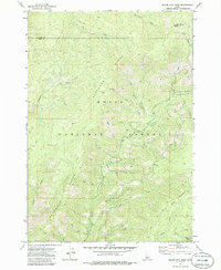
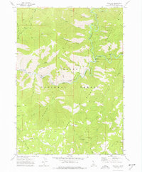
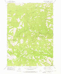
Editions of this 1893 Bear Valley Map
5 editions found

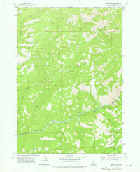
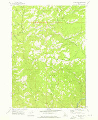
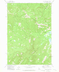
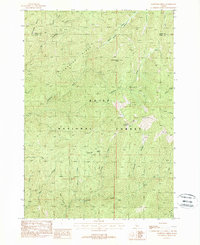
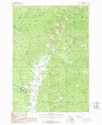
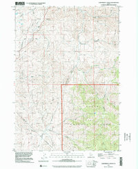
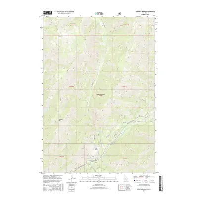
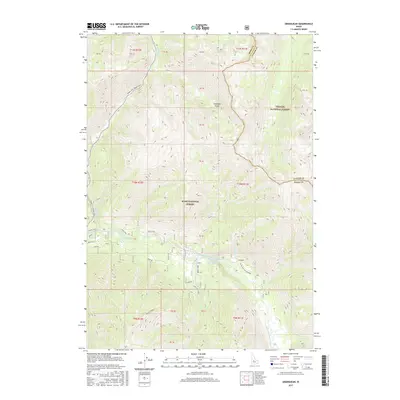
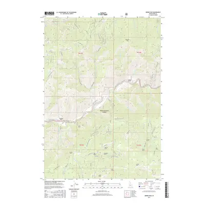
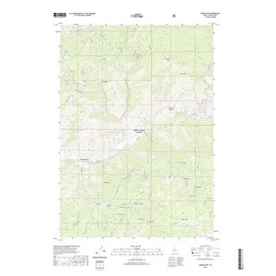
Historical Maps of Grandjean Through Time
184 maps found

1891 Bear Valley
Boise County, ID
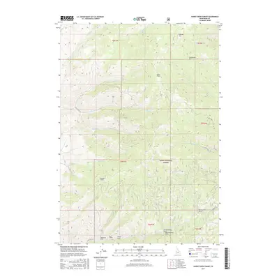
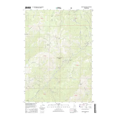
1893 Bear Valley
Boise County, ID
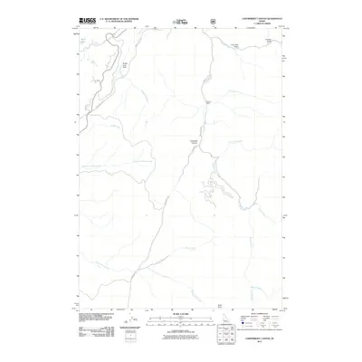
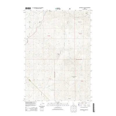
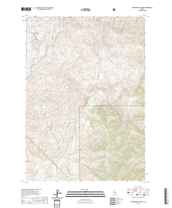
1957 Cartwright Canyon
Boise County, ID
1957 Harris Creek Summit
Boise County, ID
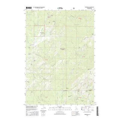
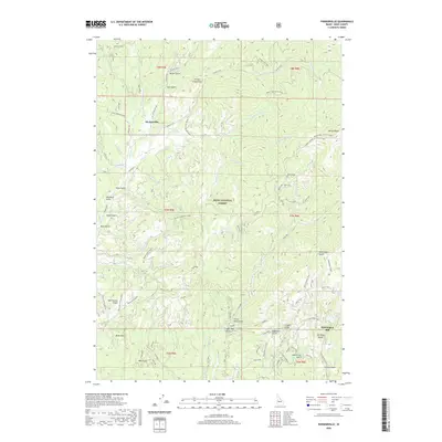
1957 Pioneerville
Boise County, ID
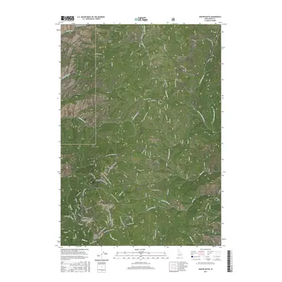
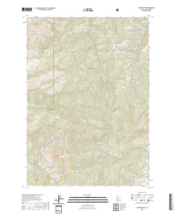
1957 Shafer Butte
Boise County, ID
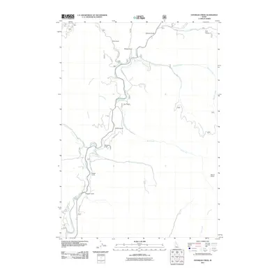
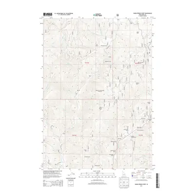
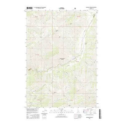
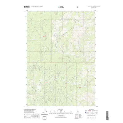
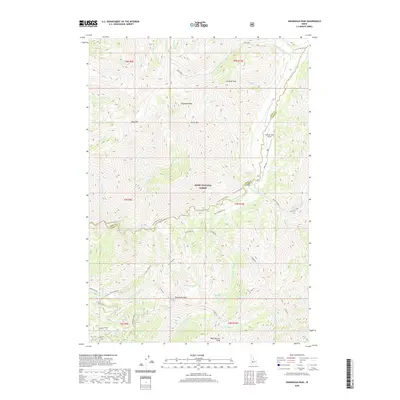
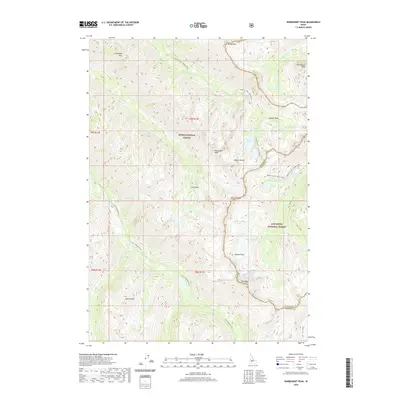
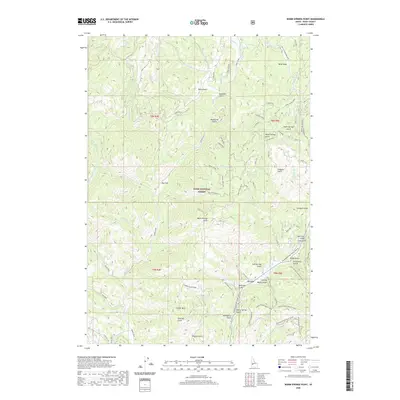
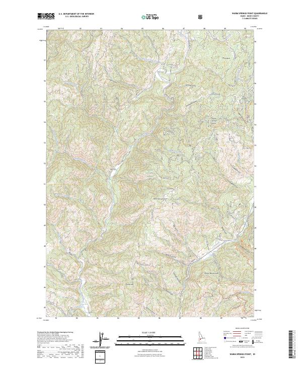
1957 Warm Springs Point
Boise County, ID
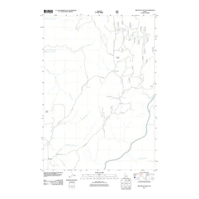
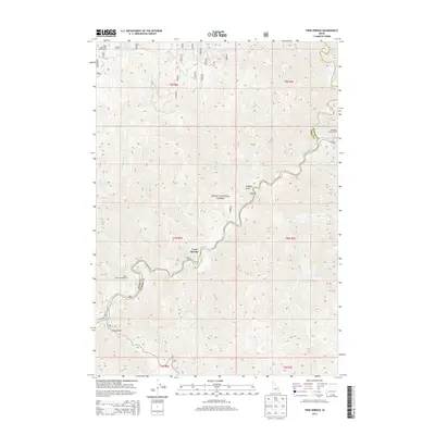
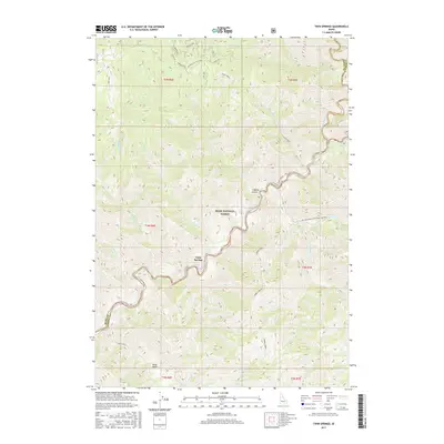
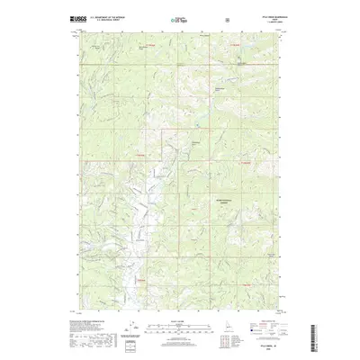
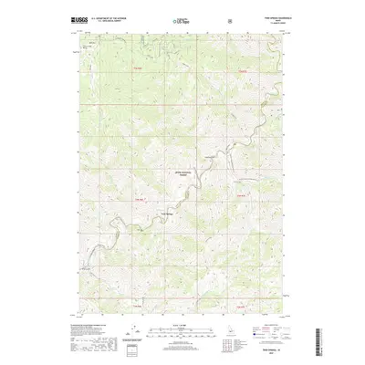
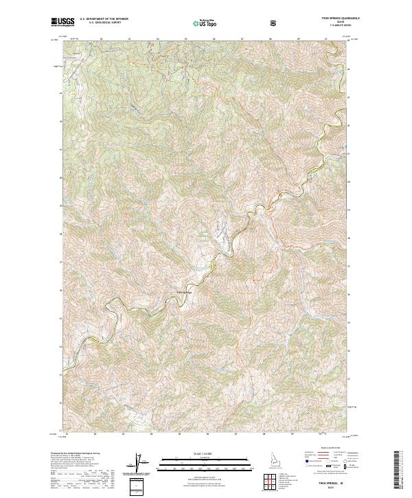
1964 Twin Springs
Boise County, ID
1969 Arrowrock Reservoir NE
Boise County, ID
1969 Dunnigan Creek
Boise County, ID
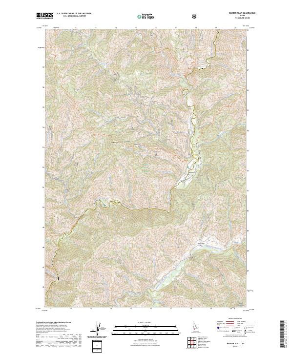
1972 Barber Flat
Boise County, ID
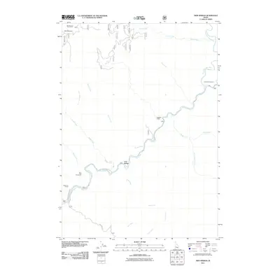
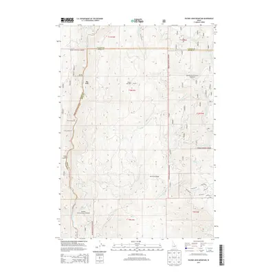
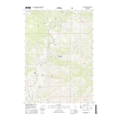
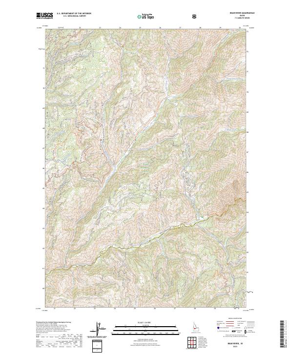
1972 Bear River
Boise County, ID
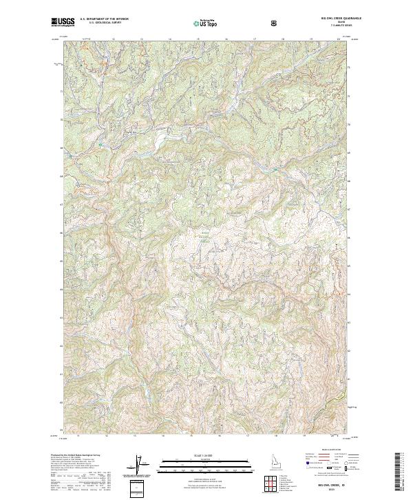
1972 Big Owl Creek
Boise County, ID
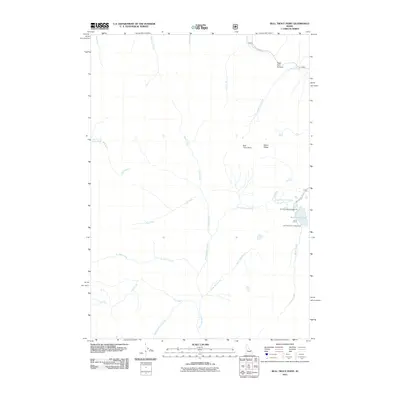
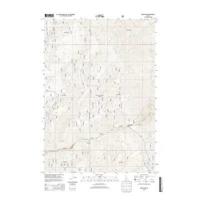
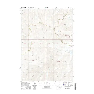
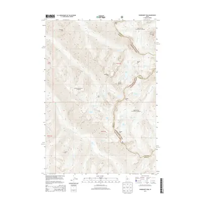
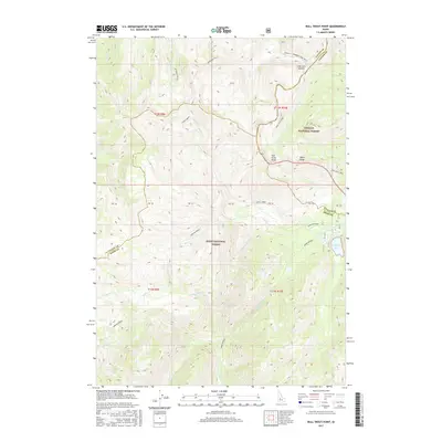
1972 Bull Trout Point
Boise County, ID
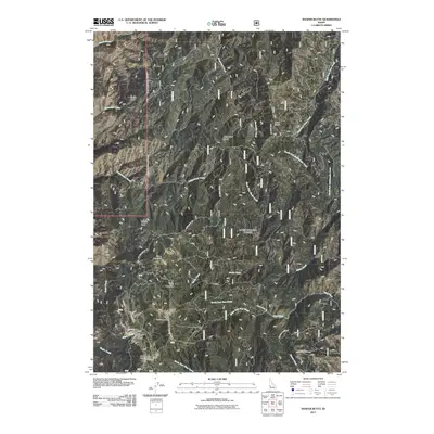
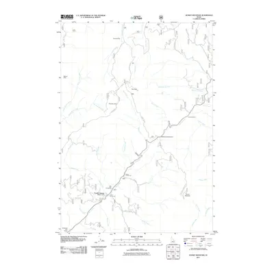
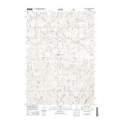
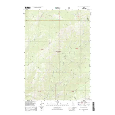
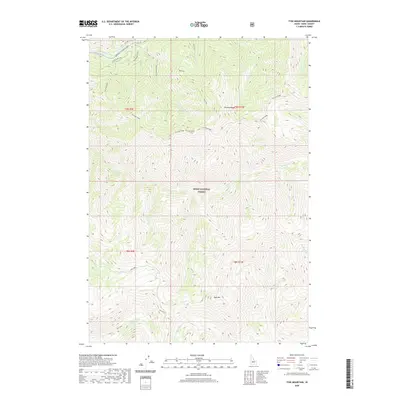
1972 Edaho Mountain
Boise County, ID
1972 Eightmile Mtn
Boise County, ID
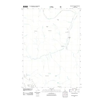
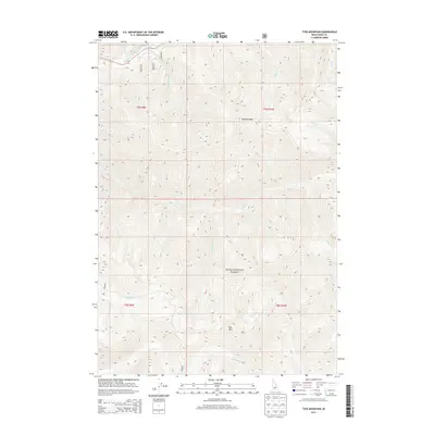
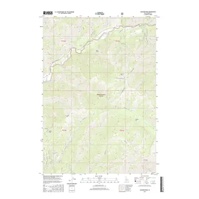
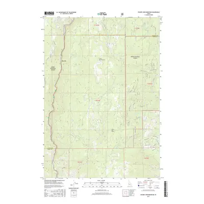
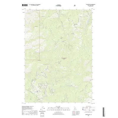
1972 Grandjean
Boise County, ID
1972 Jackson Peak
Boise County, ID
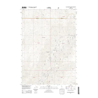
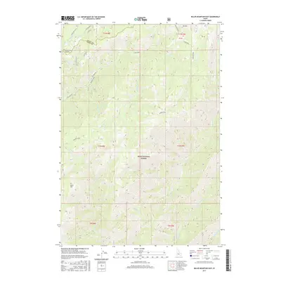
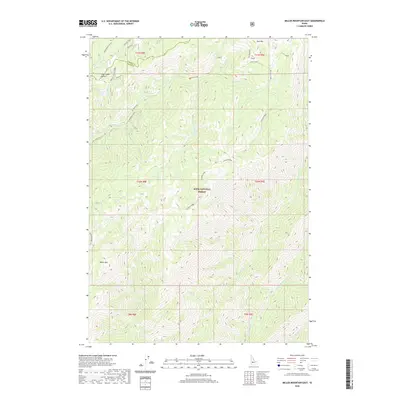
1972 Miller Mtn East
Boise County, ID
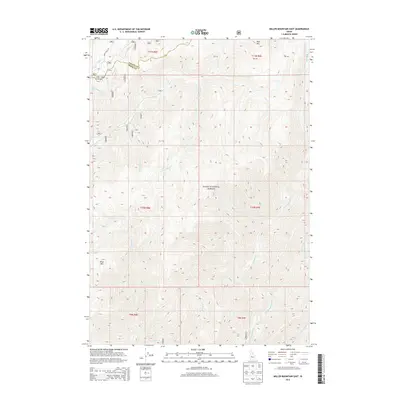
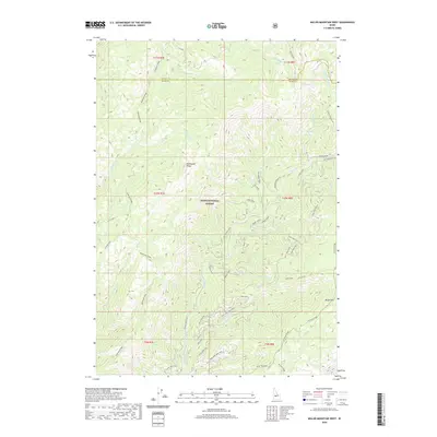
1972 Miller Mtn West
Boise County, ID
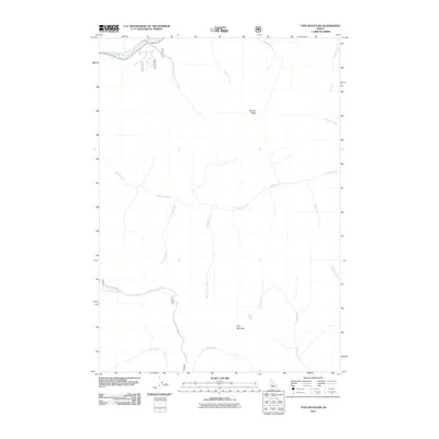
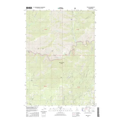
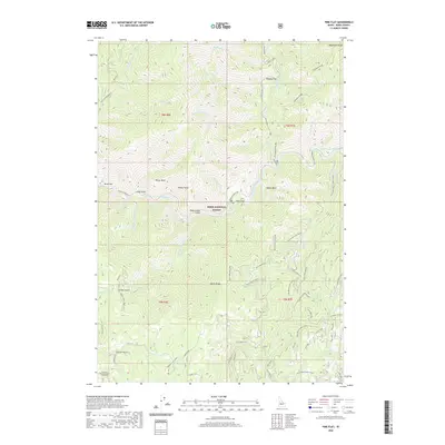
1972 Pine Flat
Boise County, ID
1972 Rabbit Creek Summit
Boise County, ID
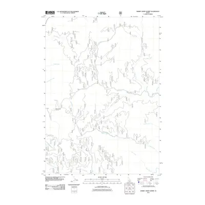
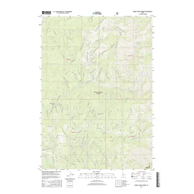
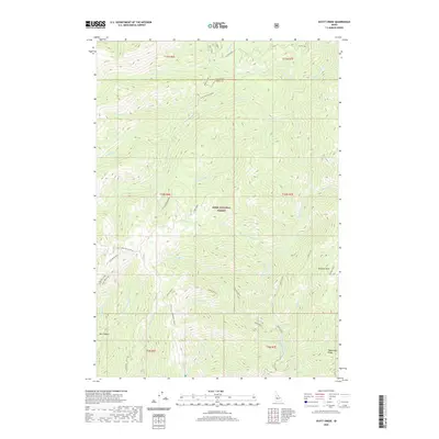
1972 Scott Creek
Boise County, ID
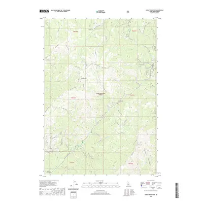
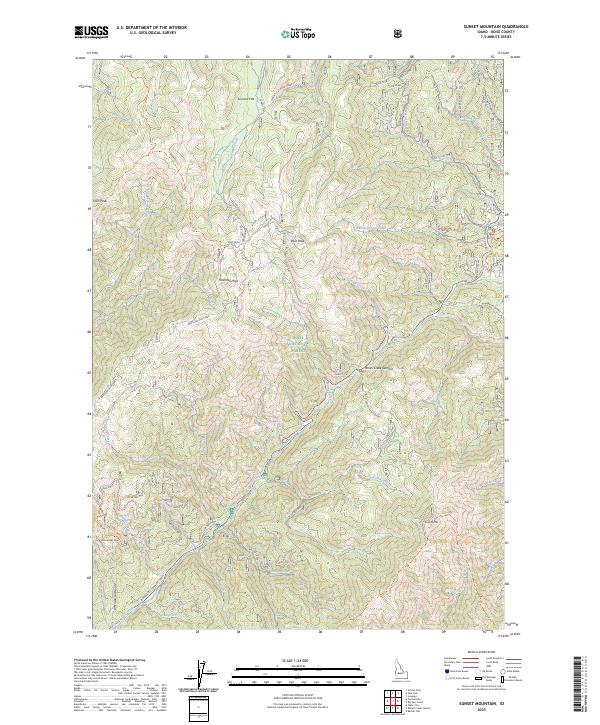
1972 Sunset Mtn.
Boise County, ID
1972 Swanholm Peak
Boise County, ID
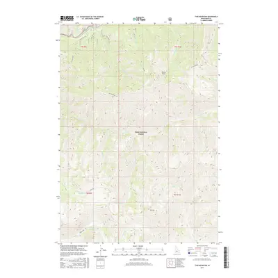
1972 Tyee Mountain
Boise County, ID
1972 Warbonnet Peak
Boise County, ID
1982 Deadwood River
Boise County, ID
1985 Dry Buck Valley
Boise County, ID
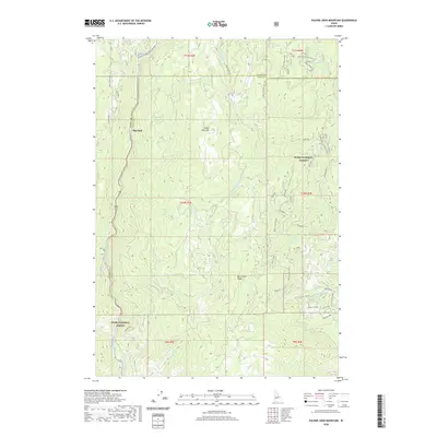
1985 Packer John Mountain
Boise County, ID
1988 Grimes Pass
Boise County, ID
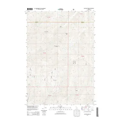
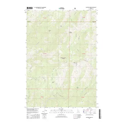
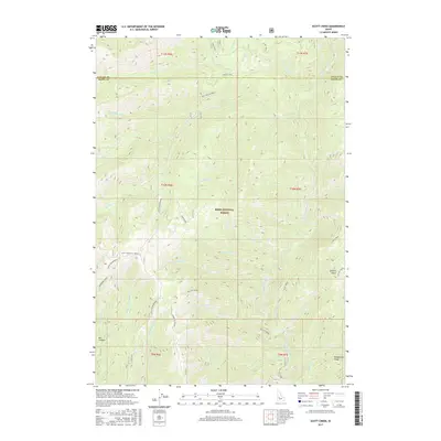
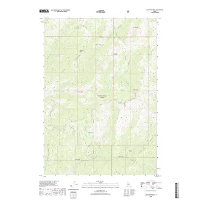
1988 Lightning Ridge
Boise County, ID
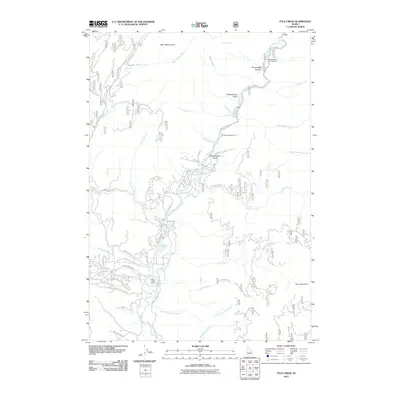
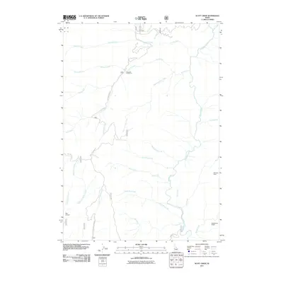
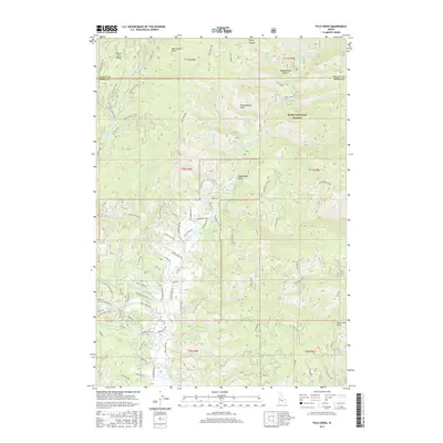
1988 Pyle Creek
Boise County, ID
1998 Cartwright Canyon
Boise County, ID
2011 Arrowrock Reservoir NE
Boise County, ID
2011 Barber Flat
Boise County, ID
2011 Bear River
Boise County, ID
2011 Big Owl Creek
Boise County, ID
2011 Bull Trout Point
Boise County, ID
2011 Cartwright Canyon
Boise County, ID
2011 Dry Buck Valley
Boise County, ID
2011 Dunnigan Creek
Boise County, ID
2011 Edaho Mountain
Boise County, ID
2011 Eightmile Mountain
Boise County, ID
2011 Grandjean
Boise County, ID
2011 Grimes Pass
Boise County, ID
2011 Harris Creek Summit
Boise County, ID
2011 Jackson Peak
Boise County, ID
2011 Lightning Ridge
Boise County, ID
2011 Miller Mountain East
Boise County, ID
2011 Miller Mountain West
Boise County, ID
2011 Packer John Mountain
Boise County, ID
2011 Pine Flat
Boise County, ID
2011 Pioneerville
Boise County, ID
2011 Pyle Creek
Boise County, ID
2011 Rabbit Creek Summit
Boise County, ID
2011 Scott Creek
Boise County, ID
2011 Shafer Butte
Boise County, ID
2011 Sunset Mountain
Boise County, ID
2011 Swanholm Peak
Boise County, ID
2011 Twin Springs
Boise County, ID
2011 Tyee Mountain
Boise County, ID
2011 Warbonnet Peak
Boise County, ID
2011 Warm Springs Point
Boise County, ID
2013 Arrowrock Reservoir NE
Boise County, ID
2013 Barber Flat
Boise County, ID
2013 Bear River
Boise County, ID
2013 Big Owl Creek
Boise County, ID
2013 Bull Trout Point
Boise County, ID
2013 Cartwright Canyon
Boise County, ID
2013 Dry Buck Valley
Boise County, ID
2013 Dunnigan Creek
Boise County, ID
2013 Edaho Mountain
Boise County, ID
2013 Eightmile Mountain
Boise County, ID
2013 Grandjean
Boise County, ID
2013 Grimes Pass
Boise County, ID
2013 Harris Creek Summit
Boise County, ID
2013 Jackson Peak
Boise County, ID
2013 Lightning Ridge
Boise County, ID
2013 Miller Mountain East
Boise County, ID
2013 Miller Mountain West
Boise County, ID
2013 Packer John Mountain
Boise County, ID
2013 Pine Flat
Boise County, ID
2013 Pioneerville
Boise County, ID
2013 Pyle Creek
Boise County, ID
2013 Rabbit Creek Summit
Boise County, ID
2013 Scott Creek
Boise County, ID
2013 Shafer Butte
Boise County, ID
2013 Sunset Mountain
Boise County, ID
2013 Swanholm Peak
Boise County, ID
2013 Twin Springs
Boise County, ID
2013 Tyee Mountain
Boise County, ID
2013 Warbonnet Peak
Boise County, ID
2013 Warm Springs Point
Boise County, ID
2017 Arrowrock Reservoir NE
Boise County, ID
2017 Barber Flat
Boise County, ID
2017 Bear River
Boise County, ID
2017 Big Owl Creek
Boise County, ID
2017 Bull Trout Point
Boise County, ID
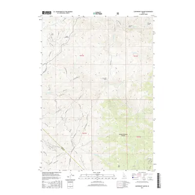
2017 Cartwright Canyon
Boise County, ID
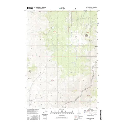
2017 Dry Buck Valley
Boise County, ID
2017 Dunnigan Creek
Boise County, ID
2017 Edaho Mountain
Boise County, ID
2017 Eightmile Mountain
Boise County, ID
2017 Grandjean
Boise County, ID
2017 Grimes Pass
Boise County, ID
2017 Harris Creek Summit
Boise County, ID
2017 Jackson Peak
Boise County, ID
2017 Lightning Ridge
Boise County, ID
2017 Miller Mountain East
Boise County, ID
2017 Miller Mountain West
Boise County, ID
2017 Packer John Mountain
Boise County, ID
2017 Pine Flat
Boise County, ID
2017 Pioneerville
Boise County, ID
2017 Pyle Creek
Boise County, ID
2017 Rabbit Creek Summit
Boise County, ID
2017 Scott Creek
Boise County, ID
2017 Shafer Butte
Boise County, ID
2017 Sunset Mountain
Boise County, ID
2017 Swanholm Peak
Boise County, ID
2017 Twin Springs
Boise County, ID
2017 Tyee Mountain
Boise County, ID
2017 Warbonnet Peak
Boise County, ID
2017 Warm Springs Point
Boise County, ID
2020 Arrowrock Reservoir NE
Boise County, ID
2020 Barber Flat
Boise County, ID
2020 Bear River
Boise County, ID
2020 Big Owl Creek
Boise County, ID
2020 Bull Trout Point
Boise County, ID
2020 Cartwright Canyon
Boise County, ID
2020 Dry Buck Valley
Boise County, ID
2020 Dunnigan Creek
Boise County, ID
2020 Edaho Mountain
Boise County, ID
2020 Eightmile Mountain
Boise County, ID
2020 Grandjean
Boise County, ID
2020 Grimes Pass
Boise County, ID
2020 Harris Creek Summit
Boise County, ID
2020 Jackson Peak
Boise County, ID
2020 Lightning Ridge
Boise County, ID
2020 Miller Mountain East
Boise County, ID
2020 Miller Mountain West
Boise County, ID
2020 Packer John Mountain
Boise County, ID
2020 Pine Flat
Boise County, ID
2020 Pioneerville
Boise County, ID
2020 Pyle Creek
Boise County, ID
2020 Rabbit Creek Summit
Boise County, ID
2020 Scott Creek
Boise County, ID
2020 Shafer Butte
Boise County, ID
2020 Sunset Mountain
Boise County, ID
2020 Swanholm Peak
Boise County, ID
2020 Twin Springs
Boise County, ID
2020 Tyee Mountain
Boise County, ID
2020 Warbonnet Peak
Boise County, ID
2020 Warm Springs Point
Boise County, ID
2023 Barber Flat
Boise County, ID
2023 Bear River
Boise County, ID
2023 Big Owl Creek
Boise County, ID
2023 Cartwright Canyon
Boise County, ID
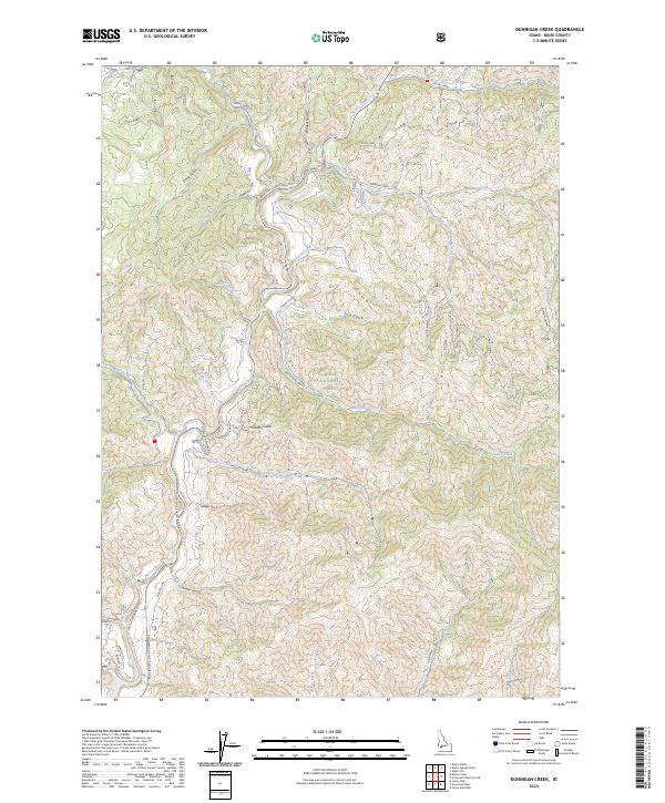
2023 Dunnigan Creek
Boise County, ID
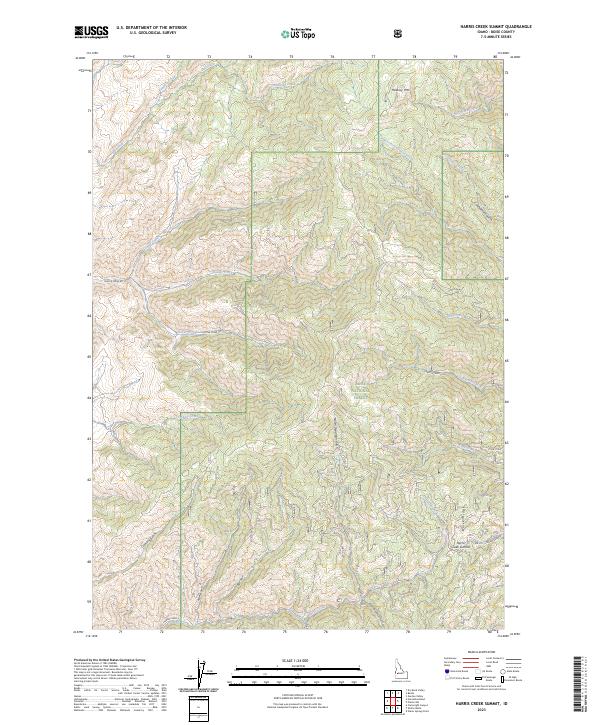
2023 Harris Creek Summit
Boise County, ID
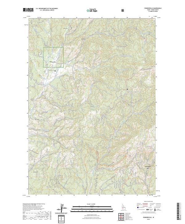
2023 Pioneerville
Boise County, ID
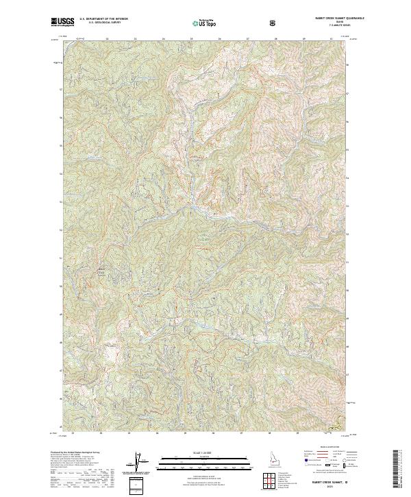
2023 Rabbit Creek Summit
Boise County, ID
2023 Shafer Butte
Boise County, ID
2023 Sunset Mountain
Boise County, ID
2023 Twin Springs
Boise County, ID
2023 Warm Springs Point
Boise County, ID
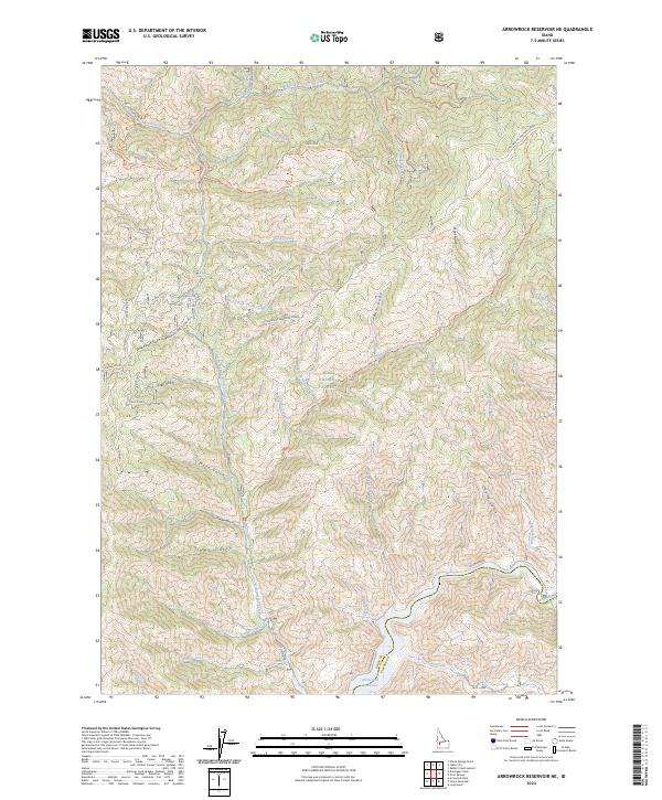
2024 Arrowrock Reservoir NE
Boise County, ID
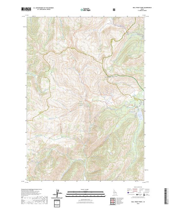
2024 Bull Trout Point
Boise County, ID
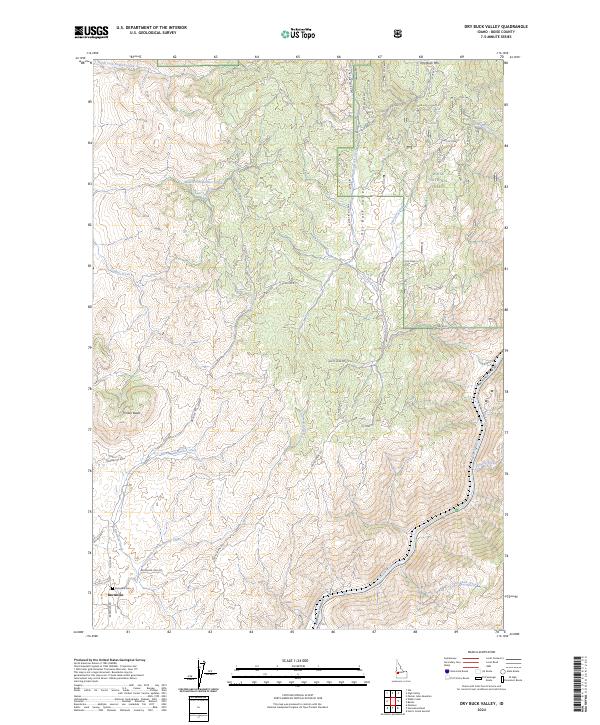
2024 Dry Buck Valley
Boise County, ID
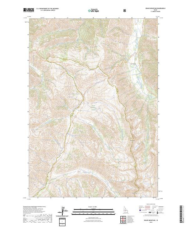
2024 Edaho Mountain
Boise County, ID
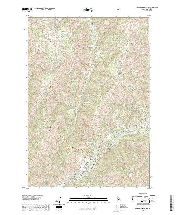
2024 Eightmile Mountain
Boise County, ID
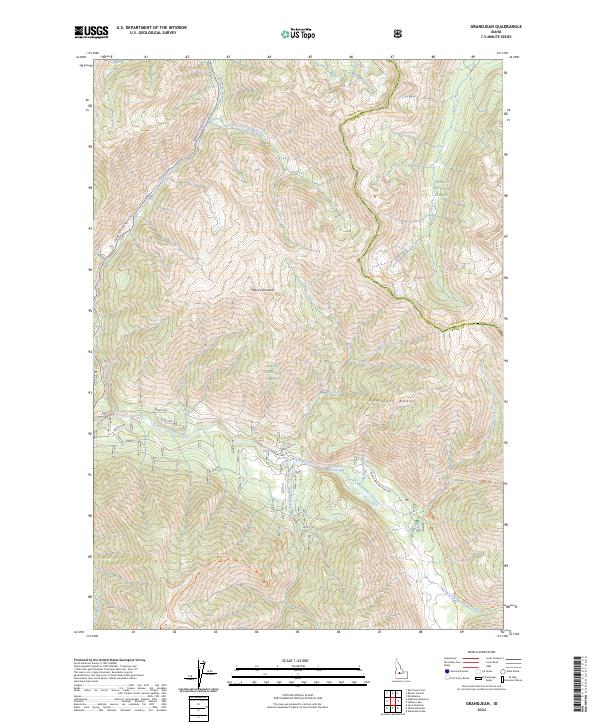
2024 Grandjean
Boise County, ID
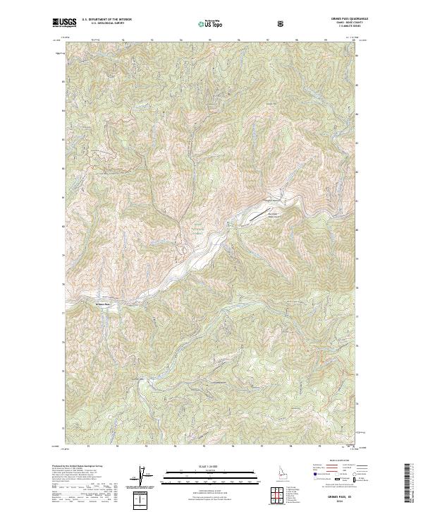
2024 Grimes Pass
Boise County, ID
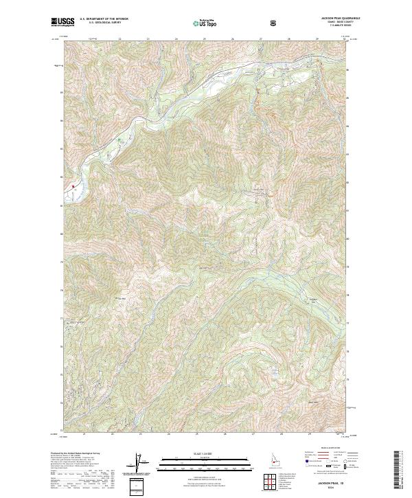
2024 Jackson Peak
Boise County, ID

2024 Lightning Ridge
Boise County, ID
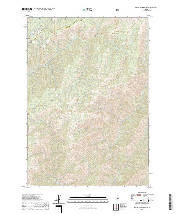
2024 Miller Mountain East
Boise County, ID
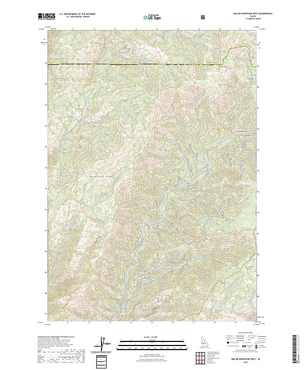
2024 Miller Mountain West
Boise County, ID
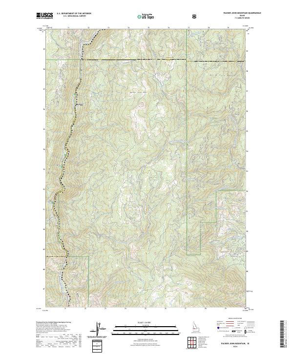
2024 Packer John Mountain
Boise County, ID
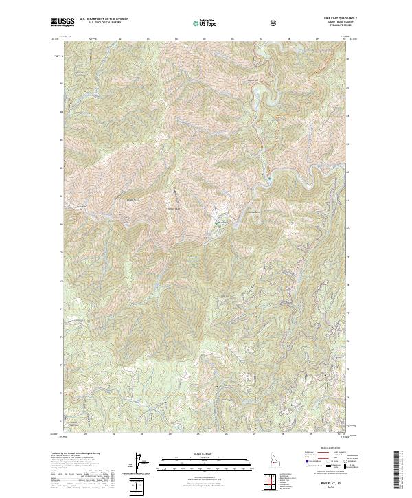
2024 Pine Flat
Boise County, ID
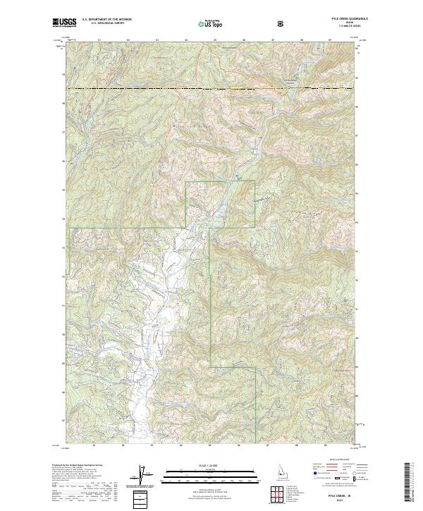
2024 Pyle Creek
Boise County, ID
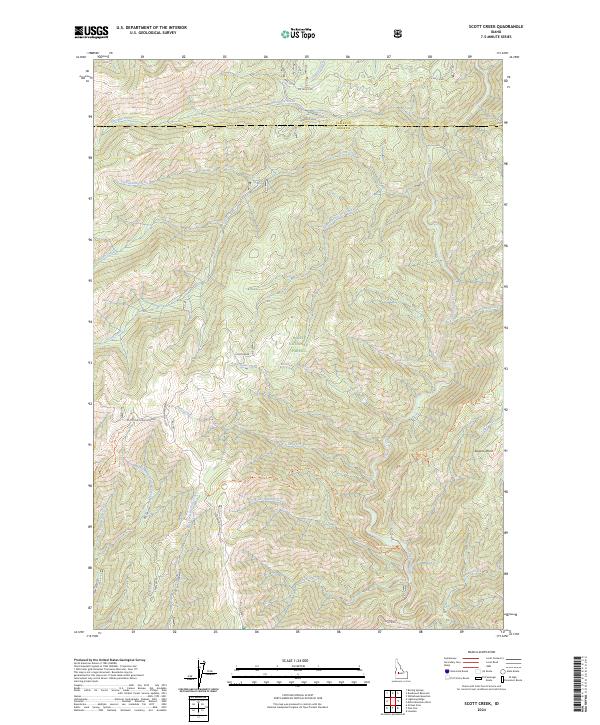
2024 Scott Creek
Boise County, ID
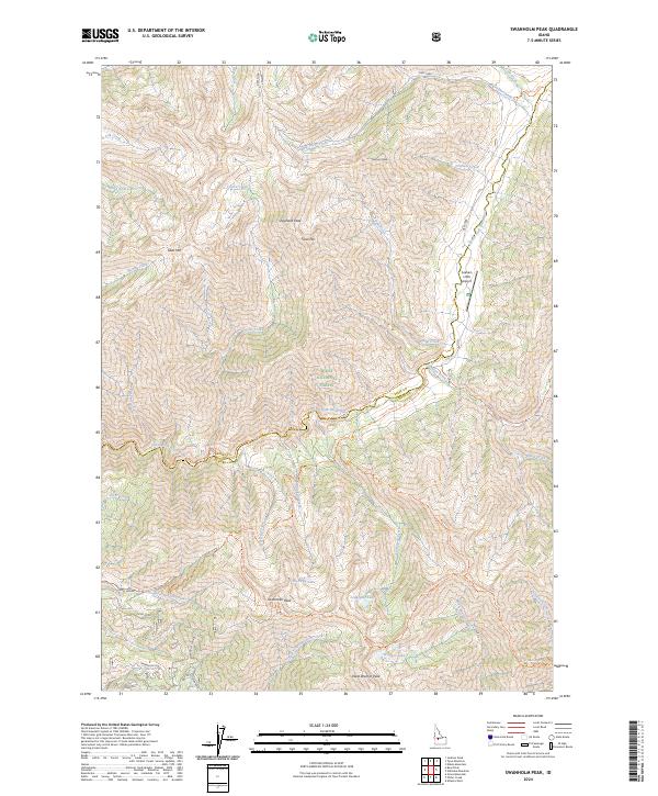
2024 Swanholm Peak
Boise County, ID
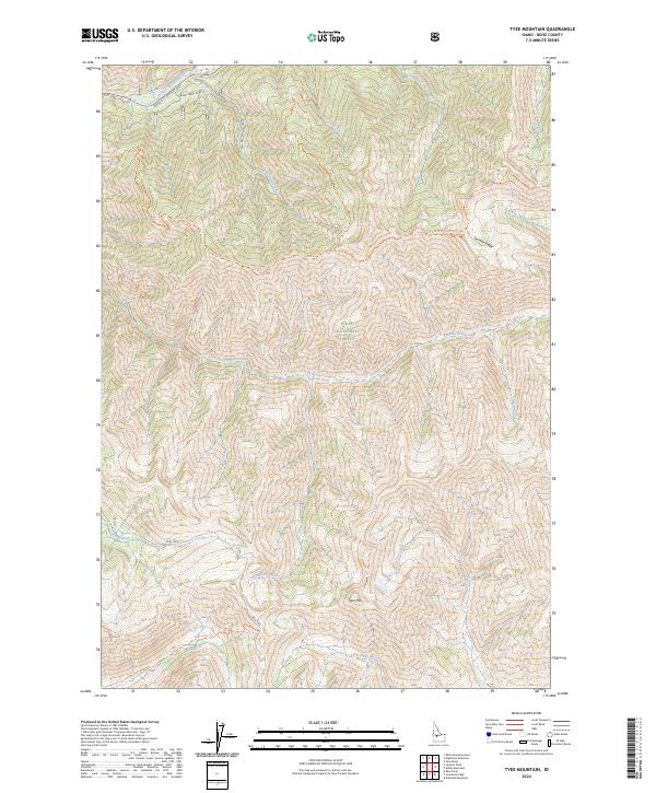
2024 Tyee Mountain
Boise County, ID
2024 Warbonnet Peak
Boise County, ID