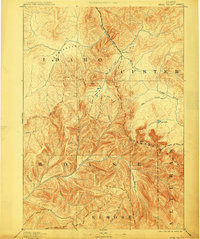
1893 Map of Bear Valley
USGS Topo · Published 1910About this map
Bear Valley and the surrounding wilderness of central Idaho are depicted here during the final decade of the 19th century, before modern development reached these high mountain basins. Topography by E.T. Perkins Jr. reveals a landscape dominated by the Sawtooth Range and the headwaters of several major river systems. This early reconnaissance survey captures the intersection of Boise, Custer, Elmore, and Alturas counties, highlighting the remote outpost at Cape Horn as a singular point of settlement. The map traces the intricate drainage patterns where the Middle Fork Salmon River and Marsh Creek begin their descent. For those studying early Idaho exploration, the sheet documents original trail orientations and the early names of tributaries like Warm Spring Creek and Fagus Creek, reflecting the geographic priorities of surveyors long before the establishment of modern forest service infrastructure.
Find a feature on this map
24 named features on this map. Tap any name to fly to it.
Don’t see what you’re looking for? This feature index may not catch every label — zoom into the map to look around manually.
Map Details
Editions of this 1893 Bear Valley Map
5 editions found
Other maps of this area

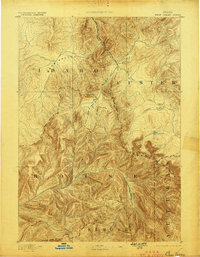
1891 · Bear Valley
USGS Topo · 1:125,000

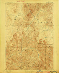
1893 · Bear Valley
USGS Topo · 1:125,000

1894 · Idaho Basin
USGS Topo · 1:125,000

1894 · Rocky Bar
USGS Topo · 1:125,000

1900 · Sawtooth
USGS Topo · 1:125,000

1909 · Garden Valley
USGS Topo · 1:125,000

1919 · Custer
USGS Topo · 1:125,000

1922 · Custer
USGS Topo · 1:125,000

1930 · Casto
USGS Topo · 1:125,000

1953 · Deadwood Reservoir
USGS Topo · 1:62,500