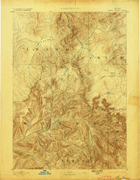
1893 Map of Bear Valley
USGS Topo · Published 1898About this map
Bear Valley and the high peaks of the Sawtooth Range dominate this early reconnaissance of central Idaho, documenting the intricate hydrology of the Salmon and Payette basins. Surveyed in 1891, the map captures a landscape largely defined by its natural barriers and watercourses, with Cape Horn serving as a solitary named point of reference near the confluence of Middle Fork Salmon River and Marsh Creek. The terrain is characterized by the convergence of several major drainages, including the headwaters of the Payette River and the North Fork Boise River, which carve deep canyons through the Alturas Range. The lack of established road networks or dense settlement patterns reflects the area's isolation in the late nineteenth century, focusing instead on landmarks like Goat Lake and various tributaries such as Warm Spring Creek and Beaver Cr. that guided early travelers and prospectors through the wilderness.
Find a feature on this map
19 named features on this map. Tap any name to fly to it.
Don’t see what you’re looking for? This feature index may not catch every label — zoom into the map to look around manually.
Map Details
Editions of this 1893 Bear Valley Map
5 editions found
Other maps of this area

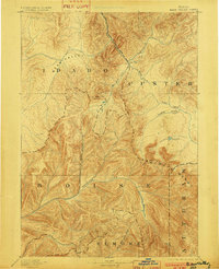
1891 · Bear Valley
USGS Topo · 1:125,000

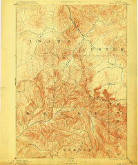
1893 · Bear Valley
USGS Topo · 1:125,000

1894 · Idaho Basin
USGS Topo · 1:125,000

1894 · Rocky Bar
USGS Topo · 1:125,000

1900 · Sawtooth
USGS Topo · 1:125,000

1909 · Garden Valley
USGS Topo · 1:125,000

1919 · Custer
USGS Topo · 1:125,000

1922 · Custer
USGS Topo · 1:125,000

1930 · Casto
USGS Topo · 1:125,000

1953 · Deadwood Reservoir
USGS Topo · 1:62,500