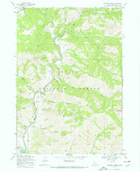
1969 Map of Dunnigan Creek
USGS Topo · Published 1972About this map
Lucky Peak Reservoir anchors the southern reaches of this landscape, where the waters of Mores Creek and Robie Cr converge. Mapping of this area in the late 1960s captures a rugged terrain dominated by the Boise National Forest, defined by a series of deeply etched drainages such as Wildcat Gulch, Avelene Gulch, and Voquelin Gulch. Evidence of land use and resource management is visible through scattered infrastructure, including a Pumping Station along the creek and a Gaging Station near the reservoir.
Find a feature on this map
35 named features on this map. Tap any name to fly to it.
Don’t see what you’re looking for? This feature index may not catch every label — zoom into the map to look around manually.
Map Details
Editions of this 1969 Dunnigan Creek Map
2 editions found

Other maps of this area

1892 · Boise
USGS Topo · 1:125,000

1894 · Idaho Basin
USGS Topo · 1:125,000

1897 · Boise
USGS Topo · 1:125,000

1949 · Robie Creek
USGS Topo · 1:24,000

1954 · Boise
USGS Topo · 1:62,500

1955 · Hailey
USGS Topo · 1:250,000

1955 · Boise
USGS Topo · 1:250,000

1957 · Warm Springs Point
USGS Topo · 1:24,000
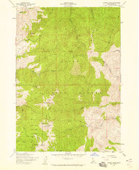
1957 · Shafer Butte
USGS Topo · 1:24,000

1957 · Idaho City
USGS Topo · 1:24,000