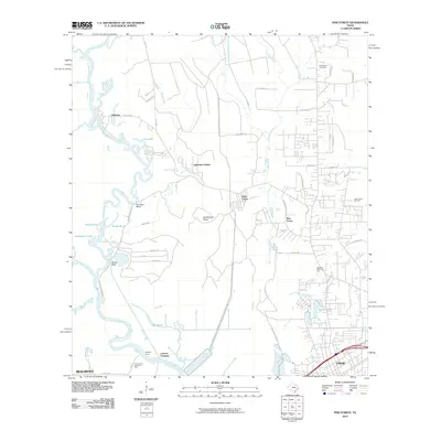
2010 Map of Pine Forest
USGS Topo · Published 2010About this map
The Neches River serpentines through this landscape north of Vidor and Beaumont, defining a complex network of waterways including Pine Island Bayou and Wiess Canal. The river's historical role in transportation is evidenced by several notable transit points like Colliers Ferry and Lawson Crossing, while the eastern portion of the map shows the influence of the local petroleum industry at the Vidor North Oil Field.
Find a feature on this map
56 named features on this map. Tap any name to fly to it.
Don’t see what you’re looking for? This feature index may not catch every label — zoom into the map to look around manually.
Map Details
Editions of this 2010 Pine Forest Map
This is the sole edition of this map. No revisions or reprints were ever made.
Other maps of this area

1926 · Terry
USGS Topo · 1:24,000

1926 · Lakeview
USGS Topo · 1:24,000

1926 · Vidor
USGS Topo · 1:24,000

1926 · Texla
USGS Topo · 1:24,000

1932 · Beaumont
USGS Topo · 1:62,500

1943 · Terry
USGS Topo · 1:24,000

1943 · Texla
USGS Topo · 1:24,000

1943 · Beaumont East
USGS Topo · 1:24,000

1952 · Lake Charles
USGS Topo · 1:250,000

1954 · Lake Charles
USGS Topo · 1:250,000