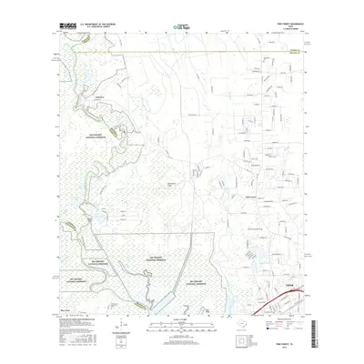
2016 Map of Pine Forest
USGS Topo · Published 2016About this map
The Big Thicket National Preserve dominates this section of the Texas coastal plain, where the dense wetlands and waterways of the Neches River basin define the landscape. This 2016 survey illustrates the complex drainage system of the region, featuring Village Creek, Maple Slough, and the Wiess Canal cutting through the low-lying terrain. The interplay between protected wilderness and suburban expansion is evident as the residential streets of Pine Forest and northern Vidor press against the swampy margins of the preserve.
Find a feature on this map
152 named features on this map. Tap any name to fly to it.
Don’t see what you’re looking for? This feature index may not catch every label — zoom into the map to look around manually.
Map Details
Editions of this 2016 Pine Forest Map
This is the sole edition of this map. No revisions or reprints were ever made.
Other maps of this area

1926 · Terry
USGS Topo · 1:24,000

1926 · Lakeview
USGS Topo · 1:24,000

1926 · Vidor
USGS Topo · 1:24,000

1926 · Texla
USGS Topo · 1:24,000

1932 · Beaumont
USGS Topo · 1:62,500

1943 · Terry
USGS Topo · 1:24,000

1943 · Texla
USGS Topo · 1:24,000

1943 · Beaumont East
USGS Topo · 1:24,000

1952 · Lake Charles
USGS Topo · 1:250,000

1954 · Lake Charles
USGS Topo · 1:250,000