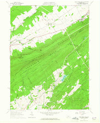
1963 Map of Pine Grove Mills
USGS Topo · Published 1965About this map
Tussey Mountain and Leading Ridge dominate this central Pennsylvania landscape, creating a physical divide between the agricultural valleys to the north and the heavily forested university lands to the south. In the early 1960s, the community of Pine Grove Mills sits at the foot of these ridges, while the surrounding lowlands are dotted with small settlements like Rockspring, Fairbrook, and Baileyville. The map reveals the deep institutional footprint of the Pennsylvania State University, which maintains the Pa State Univ Rec Area and the Pa State Univ Exper Forest. These areas include specialized facilities such as the Pa St Univ Forestry Camp and the University Dam on Shaver Creek. Historical industry is evident in place names like Monroe Furnace and the Pennsylvania Furnace Cem, while a remnant Old R.R. Grade following the Beaver Branch suggests the region's earlier transportation network.
Find a feature on this map
57 named features on this map. Tap any name to fly to it.
Don’t see what you’re looking for? This feature index may not catch every label — zoom into the map to look around manually.
Map Details
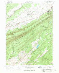
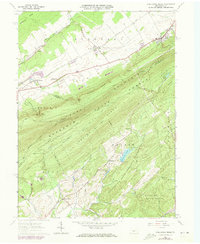
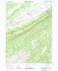
Editions of this 1963 Pine Grove Mills Map
4 editions found
Other maps of this area

1908 · Bellefonte
USGS Topo · 1:62,500

1909 · Bellefonte
USGS Topo · 1:62,500

1919 · Menno
USGS Topo · 1:62,500

1922 · Philipsburg
USGS Topo · 1:62,500

1923 · Tyrone
USGS Topo · 1:62,500

1929 · Tyrone
USGS Topo · 1:48,000

1933 · Tyrone
USGS Topo · 1:62,500

1935 · Allensville
USGS Topo · 1:62,500

1938 · Allensville
USGS Topo · 1:62,500

1939 · Philipsburg
USGS Topo · 1:62,500