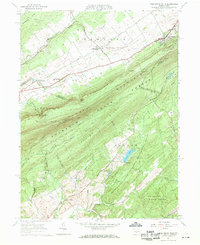
1963 Map of Pine Grove Mills
USGS Topo · Published 1971About this map
Pine Grove Mills sits at the foot of Tussey Mountain in this 1963 survey, serving as a gateway to the dense woodlands of Rothrock State Forest. The map documents a landscape defined by industrial history and academic expansion, where the Bellefonte Central Railroad and an Old R.R. Grade trace former transport corridors through the valley. Along the southern slopes, the Pennsylvania State University Experimental Forest and facilities like the Pa St Univ Forestry Camp signify the area's role in forest research and education.
Find a feature on this map
56 named features on this map. Tap any name to fly to it.
Don’t see what you’re looking for? This feature index may not catch every label — zoom into the map to look around manually.
Map Details
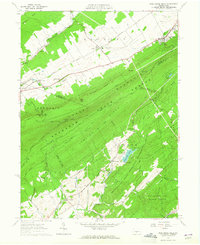
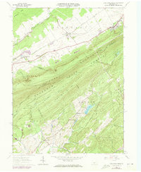
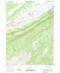
Editions of this 1963 Pine Grove Mills Map
4 editions found
Other maps of this area

1908 · Bellefonte
USGS Topo · 1:62,500

1909 · Bellefonte
USGS Topo · 1:62,500

1919 · Menno
USGS Topo · 1:62,500

1922 · Philipsburg
USGS Topo · 1:62,500

1923 · Tyrone
USGS Topo · 1:62,500

1929 · Tyrone
USGS Topo · 1:48,000

1933 · Tyrone
USGS Topo · 1:62,500

1935 · Allensville
USGS Topo · 1:62,500

1938 · Allensville
USGS Topo · 1:62,500

1939 · Philipsburg
USGS Topo · 1:62,500