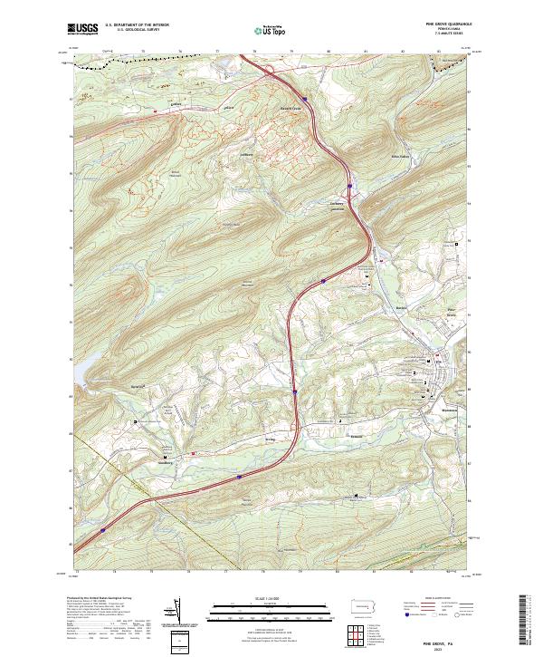
2023 Map of Pine Grove
USGS Topo · Published 2023About this map
Swatara Creek carves a central path through this section of the Ridge-and-Valley Appalachians, defining the development of communities like Pine Grove and Ravine. The landscape is dominated by high ridges including Broad Mountain and Blue Mountain, where the Appalachian National Scenic Trl follows the southern border. The transition from industrial use to recreational conservation is evident in the Swatara Rail Trl, which utilizes former transportation corridors along the water.
Find a feature on this map
64 named features on this map. Tap any name to fly to it.
Don’t see what you’re looking for? This feature index may not catch every label — zoom into the map to look around manually.
Map Details
Editions of this 2023 Pine Grove Map
This is the sole edition of this map. No revisions or reprints were ever made.
Other maps of this area

1891 · Lebanon
USGS Topo · 1:62,500

1892 · Lykens
USGS Topo · 1:62,500

1892 · Hummelstown
USGS Topo · 1:62,500

1892 · Pine Grove
USGS Topo · 1:62,500

1893 · Lykens
USGS Topo · 1:62,500

1893 · Lebanon
USGS Topo · 1:62,500

1899 · Lebanon
USGS Topo · 1:62,500

1924 · Hummelstown
USGS Topo · 1:62,500

1943 · Lebanon
USGS Topo · 1:62,500

1943 · Lykens
USGS Topo · 1:62,500
Featured Places
- Bethel Township, PA
- Hegins Township, PA
- Pine Grove, Pine Grove Township
- Frailey Township, PA
- Bethel Township, PA