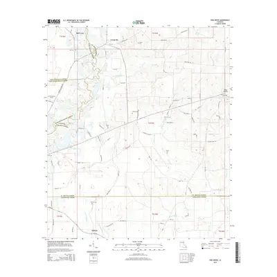
2015 Map of Pine Grove
USGS Topo · Published 2015About this map
Grangeville and Pine Grove serve as the primary hubs in this part of St. Helena Parish, where the local economy and geography are defined by a network of creeks and small family cemeteries. The Amite River forms a significant natural boundary in the northwest, while the southeastern corner is drained by the W Hog Br and Curtis Cr systems. The map reveals a deeply rooted rural community, indicated by numerous family-named landmarks and burial grounds like Naul Cem, Harrell Cem, and Claiborne Cem scattered across the landscape. The transportation network is anchored by several state routes including La-63 and La-449, connecting these small settlements with outlying areas like Oldfield and Bluff Creek. The inclusion of the Overton Private Airport suggests a modern layer of land use within this traditionally agricultural and forested region.
Find a feature on this map
89 named features on this map. Tap any name to fly to it.
Don’t see what you’re looking for? This feature index may not catch every label — zoom into the map to look around manually.
Map Details
Editions of this 2015 Pine Grove Map
This is the sole edition of this map. No revisions or reprints were ever made.
Other maps of this area

1941 · Gilead
USGS Topo · 1:31,680

1942 · Montpelier
USGS Topo · 1:31,680

1942 · Pine Grove
USGS Topo · 1:31,680

1942 · Pride
USGS Topo · 1:31,680

1942 · Gilead
USGS Topo · 1:31,680

1942 · Watson
USGS Topo · 1:31,680

1942 · Satsuma
USGS Topo · 1:31,680

1949 · Bluff Creek
USGS Topo · 1:31,680

1950 · Doyle
USGS Topo · 1:31,680

1950 · Greensburg
USGS Topo · 1:31,680