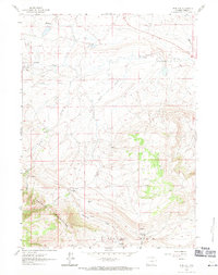
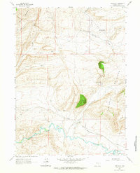
1961 Map of Pine Hill
USGS Topo · Published 1971About this map
The Shirley Mountains dominate the southwestern portion of this 1961 survey, where the terrain transitions into the Little Rock Basin. This high-elevation Carbon County landscape is defined by its complex drainage network, where Difficulty Creek and Sullivan Creek carve through the upland country. Settlement is sparse, characterized by isolated holdings such as Potter Ranch and First Ranch, reflecting the region's enduring reliance on large-scale ranching and water management. Local historical markers like The Chimneys (Site) suggest earlier habitations or landmarks known to early travelers and residents. The presence of numerous water sources, including Shirley Springs and several Flowing Wells, underscores the importance of reliable water in this arid environment. Industrial activity is limited but present, indicated by a Mine and a Gravel Pit, pointing toward the localized extraction of resources during the mid-century period.
Find a feature on this map
23 named features on this map. Tap any name to fly to it.
Don’t see what you’re looking for? This feature index may not catch every label — zoom into the map to look around manually.
Map Details
Editions of this 1961 Pine Hill Map
3 editions found
Other maps of this area

1953 · Fourmile Point
USGS Topo · 1:24,000

1953 · The Q Ranch
USGS Topo · 1:24,000

1953 · T E Ranch
USGS Topo · 1:24,000

1955 · Casper
USGS Topo · 1:250,000

1958 · Casper
USGS Topo · 1:250,000

1960 · Wild Irish Reservoir
USGS Topo · 1:24,000

1960 · Measel Spring Reservoir
USGS Topo · 1:24,000
1961 · Pine Hill
USGS Topo · 1:24,000
1961 · Windy Hill
USGS Topo · 1:24,000
1961 · Difficulty
USGS Topo · 1:24,000