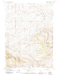
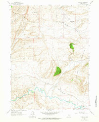
1961 Map of Pine Hill
USGS Topo · Published 1985About this map
Pine Hill rises as a central topographic landmark in this high-altitude landscape of Carbon County, Wyoming. The terrain is defined by the eastern reaches of the Shirley Mountains and the distinct depression of the Little Basin. Water sources are critical here, evidenced by the numerous named drainages such as Muddy Creek, Sullivan Creek, and Difficulty Creek, along with isolated water points like Shirley Springs and Little Rock Creek Spring. Settlement is sparse and focused on ranching operations, with Potter Ranch providing a primary human footprint on the land. An intriguing historical marker is The Chimneys (Site), suggesting a former structural presence in an otherwise open range. The map reveals the intricate network of drainage and ridge-lines that dictated the placement of ranch infrastructure and trails in this part of the Wyoming interior during the mid-twentieth century.
Find a feature on this map
20 named features on this map. Tap any name to fly to it.
Don’t see what you’re looking for? This feature index may not catch every label — zoom into the map to look around manually.
Map Details
Editions of this 1961 Pine Hill Map
3 editions found
Other maps of this area

1953 · Fourmile Point
USGS Topo · 1:24,000

1953 · The Q Ranch
USGS Topo · 1:24,000

1953 · T E Ranch
USGS Topo · 1:24,000

1955 · Casper
USGS Topo · 1:250,000

1958 · Casper
USGS Topo · 1:250,000

1960 · Wild Irish Reservoir
USGS Topo · 1:24,000

1960 · Measel Spring Reservoir
USGS Topo · 1:24,000
1961 · Pine Hill
USGS Topo · 1:24,000
1961 · Windy Hill
USGS Topo · 1:24,000
1961 · Difficulty
USGS Topo · 1:24,000