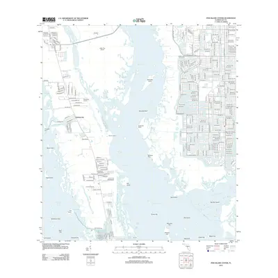
2012 Map of Pine Island Center
USGS Topo · Published 2012About this map
Matlacha Pass separates the mainland of Cape Coral from the sprawling archipelago of the Pine Island sound, revealing a coastal landscape defined by intricate water ways and burgeoning residential development. In the early 21st century, the island's interior shows a mix of rural infrastructure and planned communities, including Island Acres and Flamingo Bay. The maritime character of the region is evident through features like the Brass Cleat Marina and the proximity of the Woodstock Airport, which serve as local hubs for travel and industry.
Find a feature on this map
122 named features on this map. Tap any name to fly to it.
Don’t see what you’re looking for? This feature index may not catch every label — zoom into the map to look around manually.
Map Details
Editions of this 2012 Pine Island Center Map
This is the sole edition of this map. No revisions or reprints were ever made.
Other maps of this area

1956 · West Palm Beach
USGS Topo · 1:250,000

1956 · Tampa
USGS Topo · 1:250,000

1956 · Charlotte Harbor
USGS Topo · 1:250,000

1957 · West Palm Beach
USGS Topo · 1:250,000

1958 · West Palm Beach
USGS Topo · 1:250,000

1958 · Matlacha
USGS Topo · 1:24,000

1958 · Captiva
USGS Topo · 1:24,000

1958 · Fort Myers NW
USGS Topo · 1:24,000

1958 · Fort Myers SW
USGS Topo · 1:24,000

1958 · Sanibel
USGS Topo · 1:24,000