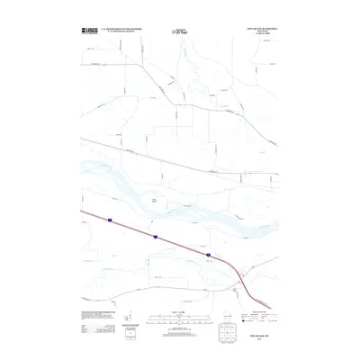
2013 Map of Pine Island
USGS Topo · Published 2013About this map
The Wisconsin River dominates this Columbia County landscape, carving a braided path through the central portion of the sheet and creating the prominent landform of Pine Island. This 2013 survey illustrates the complex hydrology of the region, where the Baraboo River and Leech Creek converge near the Fox Glen settlement. The river valley is defined by protective infrastructure like Levee Rd, which runs parallel to the main channel, and River Mills Rd, suggesting a history of water-powered industry in the area.
Find a feature on this map
46 named features on this map. Tap any name to fly to it.
Don’t see what you’re looking for? This feature index may not catch every label — zoom into the map to look around manually.
Map Details
Editions of this 2013 Pine Island Map
This is the sole edition of this map. No revisions or reprints were ever made.
Other maps of this area

1895 · Baraboo
USGS Topo · 1:62,500

1901 · Poynette
USGS Topo · 1:62,500

1902 · Portage
USGS Topo · 1:62,500

1902 · Briggsville
USGS Topo · 1:62,500

1908 · Baraboo
USGS Topo · 1:62,500

1957 · Madison
USGS Topo · 1:250,000

1958 · Briggsville
USGS Topo · 1:62,500

1959 · Baraboo
USGS Topo · 1:62,500

1960 · Madison
USGS Topo · 1:250,000

1962 · Poynette
USGS Topo · 1:62,500