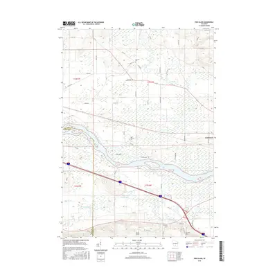
2016 Map of Pine Island
USGS Topo · Published 2016About this map
The Wisconsin River and Baraboo River converge in this landscape dominated by expansive wetlands and complex hydrology just west of Portage. The terrain is defined by the Pine Island landform and the significant rise of the North Range, culminating in the prominent peak of Cascade Mtn. The rural character of the region is punctuated by family-named roadways and several historic burial grounds, including the Welsh Church Cem and Saint Paul Lutheran Cem, which reflect the area's immigrant settlement patterns.
Find a feature on this map
61 named features on this map. Tap any name to fly to it.
Don’t see what you’re looking for? This feature index may not catch every label — zoom into the map to look around manually.
Map Details
Editions of this 2016 Pine Island Map
This is the sole edition of this map. No revisions or reprints were ever made.
Other maps of this area

1895 · Baraboo
USGS Topo · 1:62,500

1901 · Poynette
USGS Topo · 1:62,500

1902 · Portage
USGS Topo · 1:62,500

1902 · Briggsville
USGS Topo · 1:62,500

1908 · Baraboo
USGS Topo · 1:62,500

1957 · Madison
USGS Topo · 1:250,000

1958 · Briggsville
USGS Topo · 1:62,500

1959 · Baraboo
USGS Topo · 1:62,500

1960 · Madison
USGS Topo · 1:250,000

1962 · Poynette
USGS Topo · 1:62,500