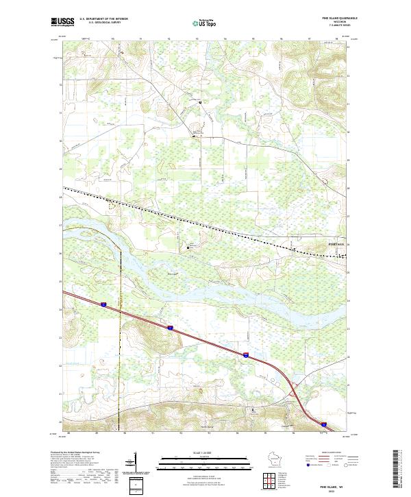
2022 Map of Pine Island
USGS Topo · Published 2022About this map
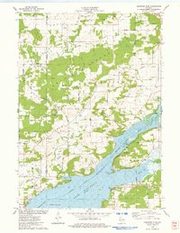
Pine Island and the meandering Wisconsin River dominate this landscape west of Portage, where the river network defines the local geography. The map reveals a complex water system including the Baraboo River, Leech Creek, and the wetlands of the Big Slough. This region at the border of Sauk and Columbia counties is characterized by established agricultural and community markers, evidenced by numerous rural cemeteries such as Cummings Cem, Saint Paul Lutheran Cem, and Welsh Church Cem. To the south, the elevation rises toward North Range and Cascade Mtn, providing a stark contrast to the low-lying river bottoms. The road network, with names like Cheese Factory Rd and Wolfram Rd, reflects the area's deep-rooted land use and local heritage.
Find a feature on this map
56 named features on this map. Tap any name to fly to it.
Don’t see what you’re looking for? This feature index may not catch every label — zoom into the map to look around manually.
Map Details
Editions of this 2022 Pine Island Map
This is the sole edition of this map. No revisions or reprints were ever made.
Historical Maps of Portage Through Time
13 maps found
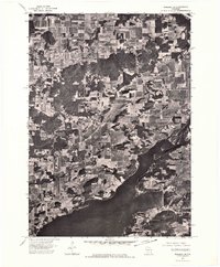
1974 Baraboo NE
Columbia County, WI
1974 Baraboo SE
Columbia County, WI
1974 Baraboo SW
Columbia County, WI
1975 Durwards Glen
Columbia County, WI
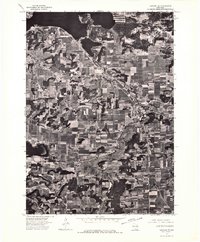
1975 Pine Island
Columbia County, WI
1980 North Bristol
Columbia County, WI
1980 Sand Spring Creek
Columbia County, WI
1984 Morrisonville
Columbia County, WI
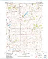
2022 Durwards Glen
Columbia County, WI
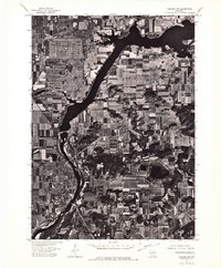
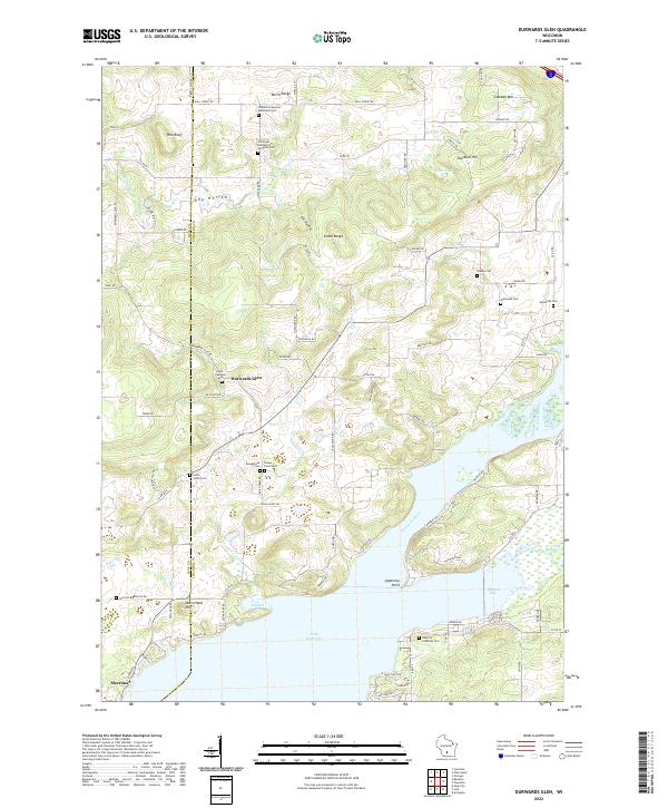
2022 Morrisonville
Columbia County, WI
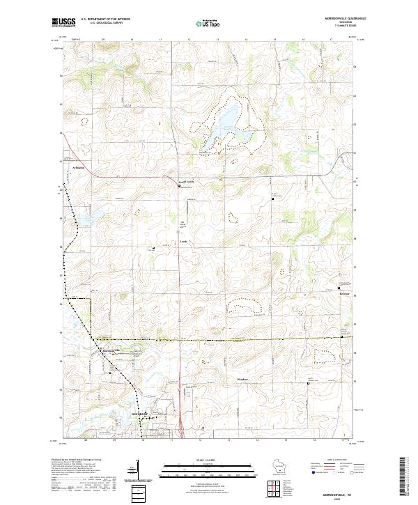
2022 North Bristol
Columbia County, WI
2022 Pine Island
Columbia County, WI
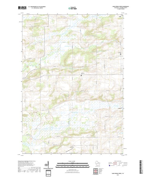
2022 Sand Spring Creek
Columbia County, WI