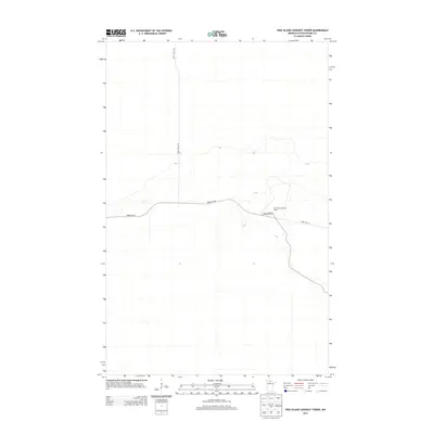
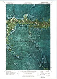
2013 Map of Pine Island Lookout Tower
USGS Topo · Published 2013About this map
The Pine Island Lookout Tower stands as a central landmark in this portion of Koochiching County, marking a high point in a landscape defined by its forestry infrastructure. This 2013 survey illustrates the essential network of access routes used for land management and fire observation in northern Minnesota. Primary transit through the area is facilitated by Forest Rd 96 and the winding path of Pine Island Rd, while more specialized routes like Fiero Truck Trl reach into the surrounding terrain. The sparse distribution of named features emphasizes the area's character as a managed timber and conservation zone, where the lookout tower serves as both a practical utility and a notable geographic anchor for the region.
Find a feature on this map
5 named features on this map. Tap any name to fly to it.
Don’t see what you’re looking for? This feature index may not catch every label — zoom into the map to look around manually.
Map Details
Editions of this 2013 Pine Island Lookout Tower Map
This is the sole edition of this map. No revisions or reprints were ever made.
Other maps of this area

1919 · Lundgren
USGS Topo · 1:62,500

1919 · Norden
USGS Topo · 1:62,500

1919 · I
USGS Topo · 1:62,500

1954 · Roseau
USGS Topo · 1:250,000

1957 · Roseau
USGS Topo · 1:250,000

1958 · Roseau
USGS Topo · 1:250,000
1973 · Ridge NW
USGS Topo · 1:24,000
1973 · Fairland NE
USGS Topo · 1:24,000
1973 · Giant Pine Campground
USGS Topo · 1:24,000
1973 · Ridge NE
USGS Topo · 1:24,000