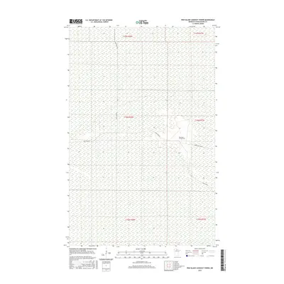
2016 Map of Pine Island Lookout Tower
USGS Topo · Published 2016About this map
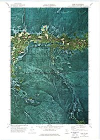
Pine Island Lookout Tower serves as the central landmark for this sparsely developed landscape in northern Minnesota. This remote area, characterized by its extensive wetland networks and flat topography, is defined by the logistics of the early 21st-century timber and forest management era. Access to the interior is provided by a handful of corridors, including the primary Pine Island Rd and the Toomey Williams Rd. The presence of the Fiero Truck Trl suggests a terrain shaped by fire prevention and resource extraction needs. Because of the vast tracts of public and protected land within these townships, the map offers a clear view of the rectilinear Public Land Survey System boundaries that organize this part of Koochiching County.
Find a feature on this map
10 named features on this map. Tap any name to fly to it.
Don’t see what you’re looking for? This feature index may not catch every label — zoom into the map to look around manually.
Map Details
Editions of this 2016 Pine Island Lookout Tower Map
This is the sole edition of this map. No revisions or reprints were ever made.
Other maps of this area

1919 · Lundgren
USGS Topo · 1:62,500

1919 · Norden
USGS Topo · 1:62,500

1919 · I
USGS Topo · 1:62,500

1954 · Roseau
USGS Topo · 1:250,000

1957 · Roseau
USGS Topo · 1:250,000

1958 · Roseau
USGS Topo · 1:250,000
1973 · Ridge NW
USGS Topo · 1:24,000
1973 · Fairland NE
USGS Topo · 1:24,000
1973 · Giant Pine Campground
USGS Topo · 1:24,000
1973 · Ridge NE
USGS Topo · 1:24,000