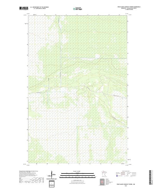
2022 Map of Pine Island Lookout Tower
USGS Topo · Published 2022About this map
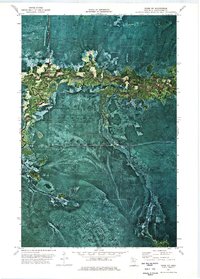
Pine Island Rd and Toomey Williams Rd intersect within this expansive wetland landscape in Koochiching County. The area is defined by its rigorous township and range grid, where vast marshes are segmented by these few arterial routes and the Fiero Truck Trl. This 2022 survey captures a remote section of northern Minnesota where the natural hydrology dominates, leaving the human footprint limited to essential forest access roads and truck trails. Geographers and local historians can observe how the terrain dictated the placement of these specific transport corridors, which navigate around the wetland basins to maintain connectivity through the northern woods.
Find a feature on this map
9 named features on this map. Tap any name to fly to it.
Don’t see what you’re looking for? This feature index may not catch every label — zoom into the map to look around manually.
Map Details
Editions of this 2022 Pine Island Lookout Tower Map
This is the sole edition of this map. No revisions or reprints were ever made.
Other maps of this area

1919 · Lundgren
USGS Topo · 1:62,500

1919 · Norden
USGS Topo · 1:62,500

1919 · I
USGS Topo · 1:62,500

1954 · Roseau
USGS Topo · 1:250,000

1957 · Roseau
USGS Topo · 1:250,000

1958 · Roseau
USGS Topo · 1:250,000
1973 · Ridge NW
USGS Topo · 1:24,000
1973 · Fairland NE
USGS Topo · 1:24,000
1973 · Giant Pine Campground
USGS Topo · 1:24,000
1973 · Ridge NE
USGS Topo · 1:24,000