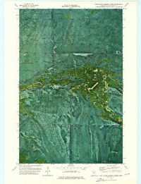
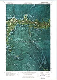
1973 Map of Pine Island Lookout Tower
USGS Topo · Published 1976About this map
The Old Indian Treaty Boundary slices diagonally across this northern Minnesota landscape, a stark reminder of historical territorial shifts within Koochiching County. This 1973 orthophotomap provides a rare photographic base of the Pine Island Lookout Tower area, revealing a densely forested and water-heavy terrain typical of the state's northern reaches. The presence of a Winter Trail highlights the seasonal nature of transportation in a region where heavy snowfall and frozen ground once dictated movement through the woods.
Find a feature on this map
5 named features on this map. Tap any name to fly to it.
Don’t see what you’re looking for? This feature index may not catch every label — zoom into the map to look around manually.
Map Details
Editions of this 1973 Pine Island Lookout Tower Map
This is the sole edition of this map. No revisions or reprints were ever made.
Other maps of this area

1919 · Lundgren
USGS Topo · 1:62,500

1919 · Norden
USGS Topo · 1:62,500

1919 · I
USGS Topo · 1:62,500

1954 · Roseau
USGS Topo · 1:250,000

1957 · Roseau
USGS Topo · 1:250,000

1958 · Roseau
USGS Topo · 1:250,000
1973 · Ridge NW
USGS Topo · 1:24,000
1973 · Fairland NE
USGS Topo · 1:24,000
1973 · Giant Pine Campground
USGS Topo · 1:24,000
1973 · Ridge NE
USGS Topo · 1:24,000