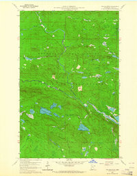
1959 Map of Pine Mountain
USGS Topo · Published 1964About this map
Pine Mountain rises as the central landmark of this 1959 survey, situated within the overlapping boundaries of the Minnesota State Forest and the Superior National Forest. This remote pocket of Cook County is defined by a complex drainage system where the Brule River and South Brule River navigate a terrain dense with glacial lakes. The presence of the Gunflint Trail in the southeastern corner indicates the primary corridor for access to this wilderness during the mid-century era.
Find a feature on this map
30 named features on this map. Tap any name to fly to it.
Don’t see what you’re looking for? This feature index may not catch every label — zoom into the map to look around manually.
Map Details
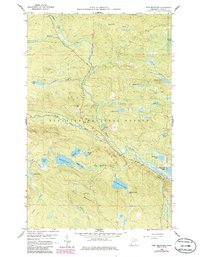
Editions of this 1959 Pine Mountain Map
3 editions found
Other maps of this area

1954 · Two Harbors
USGS Topo · 1:250,000

1957 · Two Harbors
USGS Topo · 1:250,000

1957 · Quetico
USGS Topo · 1:250,000

1958 · Two Harbors
USGS Topo · 1:250,000

1959 · Northern Light Lake
USGS Topo · 1:24,000

1959 · Pine Mountain
USGS Topo · 1:24,000

1959 · Lima Mountain
USGS Topo · 1:24,000

1959 · Hungry Jack Lake
USGS Topo · 1:24,000

1959 · Pine Lake West
USGS Topo · 1:24,000

1959 · Crocodile Lake
USGS Topo · 1:24,000