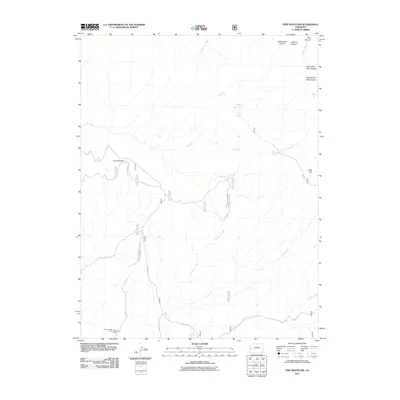
2011 Map of Pine Mountain
USGS Topo · Published 2011About this map
Pine Mountain stands as a prominent landmark in this high-altitude landscape within Mesa County, defined by a network of drainage canyons and intermittent water sources. The southwestern portion of the sheet reveals the area's industrial history with the Yellow Jacket Mine and Maverick Mine, connected by a system of Forest Service and local roads like 6 3/10 RD. Water management in this arid environment is evident through features such as Rim Pond, Far Pond, and Middle Pond.
Find a feature on this map
36 named features on this map. Tap any name to fly to it.
Don’t see what you’re looking for? This feature index may not catch every label — zoom into the map to look around manually.
Map Details
Editions of this 2011 Pine Mountain Map
This is the sole edition of this map. No revisions or reprints were ever made.
Other maps of this area

1949 · Juanita Arch
USGS Topo · 1:24,000

1949 · Calamity Mesa
USGS Topo · 1:24,000

1949 · Gateway
USGS Topo · 1:24,000

1950 · Juanita Arch
USGS Topo · 1:24,000

1950 · Calamity Mesa
USGS Topo · 1:24,000

1950 · Pine Mountain
USGS Topo · 1:24,000

1952 · Gateway
USGS Topo · 1:24,000

1956 · Moab
USGS Topo · 1:250,000

1959 · Moab
USGS Topo · 1:250,000

1960 · Moab
USGS Topo · 1:250,000