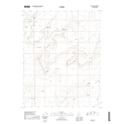
2020 Map of Pine Point
USGS Topo · Published 2020About this map
White Cliffs and the broad expanse of Wygaret Terrace dominate this 2020 landscape in southern Utah. The map reveals a high-desert environment defined by dramatic plateaus and deeply incised drainages, including Skutumpah Canyon and Cottonwood Canyon. Transport across this difficult terrain is marked by historic corridors such as Johnson Canyon Rd and Nephi Pasture Rd, which connect the various cattle-rearing and ranching lands of Kane County.
Find a feature on this map
25 named features on this map. Tap any name to fly to it.
Don’t see what you’re looking for? This feature index may not catch every label — zoom into the map to look around manually.
Map Details
Editions of this 2020 Pine Point Map
This is the sole edition of this map. No revisions or reprints were ever made.
Other maps of this area

1886 · Kanab
USGS Topo · 1:250,000

1953 · Cedar City
USGS Topo · 1:250,000

1954 · Buckskin Gulch NW
USGS Topo · 1:24,000

1954 · Buckskin Gulch SW
USGS Topo · 1:24,000

1954 · Johnson SE
USGS Topo · 1:24,000

1954 · Johnson NE
USGS Topo · 1:24,000

1954 · Johnson SW
USGS Topo · 1:24,000

1954 · Buckskin Gulch
USGS Topo · 1:62,500

1954 · Johnson
USGS Topo · 1:62,500

1958 · Cedar City
USGS Topo · 1:250,000