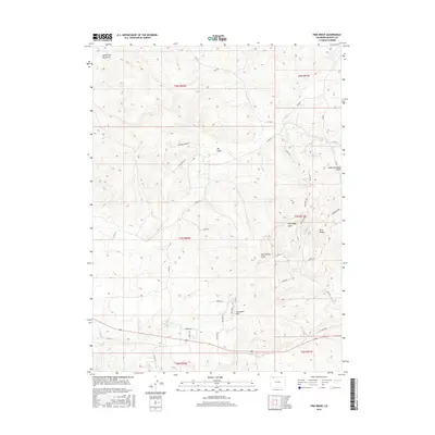
2016 Map of Pine Ridge
USGS Topo · Published 2016About this map
Sand Spring and the surrounding high country of Moffat County are the focal points of this 2016 survey, where the terrain is defined by a complex network of ephemeral drainages and ridgelines. The landscape transitions from the heights of Pine Ridge and Sevenmile Hill down through several prominent erosional features, including Pine Ridge Gulch and Cedar Mountain Gulch. The mapping of local roads and named tracks such as Box Canyon Rd and Ponderosa Pass provides a clear view of how this area is accessed and managed for modern use.
Find a feature on this map
40 named features on this map. Tap any name to fly to it.
Don’t see what you’re looking for? This feature index may not catch every label — zoom into the map to look around manually.
Map Details
Editions of this 2016 Pine Ridge Map
This is the sole edition of this map. No revisions or reprints were ever made.
Other maps of this area

1910 · Danforth Hills
USGS Topo · 1:125,000

1912 · Axial
USGS Topo · 1:62,500

1914 · Axial
USGS Topo · 1:62,500

1915 · Monument Butte
USGS Topo · 1:62,500

1916 · Craig
USGS Topo · 1:125,000

1954 · Craig
USGS Topo · 1:250,000

1957 · Craig
USGS Topo · 1:250,000

1958 · Craig
USGS Topo · 1:250,000

1960 · Craig
USGS Topo · 1:250,000

1962 · Craig
USGS Topo · 1:250,000