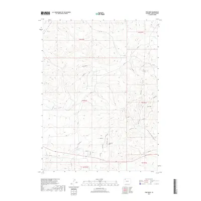
2019 Map of Pine Ridge
USGS Topo · Published 2019About this map
Sevenmile Hill rises above the high desert landscape of Moffat County, anchoring a terrain defined by complex drainage systems and the prominent uplift of Pine Ridge. This 2019 survey captures the modern ranching and resource-rich character of northwestern Colorado, where water sources like Sand Spring and the ephemeral flows of Big Gulch determine the layout of the land. The map reveals a transition between rural county roads and the specialized infrastructure of localized developments south of the ridge.
Find a feature on this map
42 named features on this map. Tap any name to fly to it.
Don’t see what you’re looking for? This feature index may not catch every label — zoom into the map to look around manually.
Map Details
Editions of this 2019 Pine Ridge Map
This is the sole edition of this map. No revisions or reprints were ever made.
Other maps of this area

1910 · Danforth Hills
USGS Topo · 1:125,000

1912 · Axial
USGS Topo · 1:62,500

1914 · Axial
USGS Topo · 1:62,500

1915 · Monument Butte
USGS Topo · 1:62,500

1916 · Craig
USGS Topo · 1:125,000

1954 · Craig
USGS Topo · 1:250,000

1957 · Craig
USGS Topo · 1:250,000

1958 · Craig
USGS Topo · 1:250,000

1960 · Craig
USGS Topo · 1:250,000

1962 · Craig
USGS Topo · 1:250,000