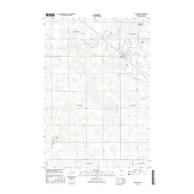
2016 Map of Pine River
USGS Topo · Published 2016About this map
The city of Pine River serves as the focal point of this Cass County landscape, situated at the junction of the Pine River and its southern tributaries. The terrain is characterized by a dense network of water bodies and wetlands, including Norway Lake, Sand Lake, and the sprawling Rice-lake Swamp. To the north, the small community of Chickamaw Beach sits on the shores of Norway Lake, while the Pine River Regional Airport supports the region's transportation infrastructure. Local history and genealogy are well-represented by several burial grounds, such as Pine-Ridge Cem, Maple Hill Cem, and Anderson Cem. The drainage pattern is defined by winding waterways like South Fork Pine River and Hoblin Cr, which move through a low-lying geography interspersed with occasional elevations such as Maple Hill. This survey captures the modern road network and rural layout before further development in this lake-rich portion of Minnesota.
Find a feature on this map
56 named features on this map. Tap any name to fly to it.
Don’t see what you’re looking for? This feature index may not catch every label — zoom into the map to look around manually.
Map Details
Editions of this 2016 Pine River Map
This is the sole edition of this map. No revisions or reprints were ever made.
Other maps of this area

1919 · Leader
USGS Topo · 1:62,500

1953 · Brainerd
USGS Topo · 1:250,000

1957 · Brainerd
USGS Topo · 1:250,000

1958 · Brainerd
USGS Topo · 1:250,000

1959 · Nisswa
USGS Topo · 1:24,000

1959 · Pine River
USGS Topo · 1:24,000

1959 · Jenkins
USGS Topo · 1:24,000

1959 · Pine River SW
USGS Topo · 1:24,000

1965 · Brainerd
USGS Topo · 1:250,000

1970 · Backus
USGS Topo · 1:24,000