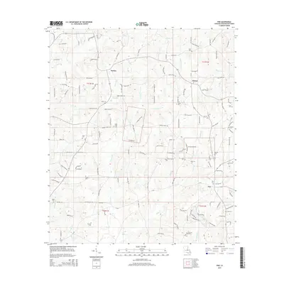
2015 Map of Pine
USGS Topo · Published 2015About this map
The community of Hackley anchors the northwestern corner of this Washington Parish landscape, situated among a dense network of local roads that reflect a deeply rooted rural settlement pattern. The area is characterized by an extensive system of creeks and branches, including Hays Cr, Lawrence Cr, and the winding Witche Cr. These waterways defined the early boundaries of property and movement through the parish.
Find a feature on this map
138 named features on this map. Tap any name to fly to it.
Don’t see what you’re looking for? This feature index may not catch every label — zoom into the map to look around manually.
Map Details
Editions of this 2015 Pine Map
This is the sole edition of this map. No revisions or reprints were ever made.
Other maps of this area

1939 · Clifton
USGS Topo · 1:31,680

1942 · Thigpen
USGS Topo · 1:31,680

1942 · Thomas
USGS Topo · 1:31,680

1949 · Bogalusa West
USGS Topo · 1:31,680

1950 · Crains Creek
USGS Topo · 1:31,680

1950 · Franklinton
USGS Topo · 1:31,680

1953 · Hattiesburg
USGS Topo · 1:250,000

1953 · Natchez
USGS Topo · 1:250,000

1953 · Mobile
USGS Topo · 1:250,000

1954 · Baton Rouge
USGS Topo · 1:250,000