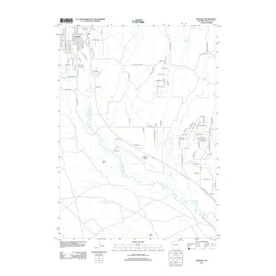
2012 Map of Pinedale
USGS Topo · Published 2012About this map
Pinedale sits at the northern edge of this high-elevation landscape, where the town grid meets the drainage of Pine Cr and Pole Cr. The map captures the interface between the growing residential streets of the county seat and the surrounding ranching and recreation lands. In the north, Plainview Cem and the residential corridors along Skyline St and Fremont Lake Rd provide specific reference points for local history and property research. To the south, the terrain opens toward the New Fork River valley, dominated by aviation and infrastructure at Ralph Wenz Field Airport. This 2012 survey illustrates the modern transportation network, including the diagonal path of US Highway 191 and a complex system of rural tracks such as The Mesa Rd and Moose Rd W. Landforms like Ruby Hill and Two Buttes punctuate the landscape, while Desert Reservoir Number 3 indicates the critical role of water management in this arid Wyoming environment.
Find a feature on this map
93 named features on this map. Tap any name to fly to it.
Don’t see what you’re looking for? This feature index may not catch every label — zoom into the map to look around manually.
Map Details
Editions of this 2012 Pinedale Map
This is the sole edition of this map. No revisions or reprints were ever made.
Other maps of this area

1955 · Lander
USGS Topo · 1:250,000

1958 · Lander
USGS Topo · 1:250,000

1961 · Lander
USGS Topo · 1:250,000

1964 · Two Buttes Reservoir
USGS Topo · 1:24,000

1964 · Boulder Lake
USGS Topo · 1:24,000

1964 · Mount Airy
USGS Topo · 1:24,000

1964 · Mesa Spring
USGS Topo · 1:24,000
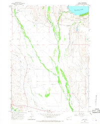
1964 · Cora
USGS Topo · 1:24,000

1964 · Boulder
USGS Topo · 1:24,000
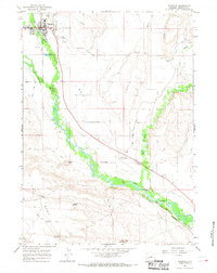
1964 · Pinedale
USGS Topo · 1:24,000