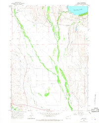
1964 Map of Cora
USGS Topo · Published 1968About this map
New Fork River and Willow Creek converge in this high-altitude ranching landscape, where irrigation infrastructure like Jenkins Ditch and Highline Ditch supported the early cattle industry. The settlement of Cora serves as a central point in an area defined by family holdings, notably the Bar Cross Ranch and Binning Ranch. Cultural history is anchored at the southern edge by the Trappers Point Historical Monument, which commemorates the region's importance to the early fur trade and livestock migrations.
Find a feature on this map
23 named features on this map. Tap any name to fly to it.
Don’t see what you’re looking for? This feature index may not catch every label — zoom into the map to look around manually.
Map Details
Editions of this 1964 Cora Map
2 editions found

Other maps of this area

1907 · Gros Ventre
USGS Topo · 1:125,000
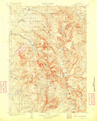
1909 · Fremont Peak
USGS Topo · 1:125,000

1910 · Gros Ventre
USGS Topo · 1:125,000
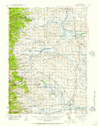
1939 · Big Piney
USGS Topo · 1:125,000
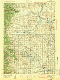
1942 · Big Piney
USGS Topo · 1:125,000

1955 · Driggs
USGS Topo · 1:250,000

1955 · Preston
USGS Topo · 1:250,000

1955 · Thermopolis
USGS Topo · 1:250,000

1955 · Lander
USGS Topo · 1:250,000

1958 · Driggs
USGS Topo · 1:250,000