
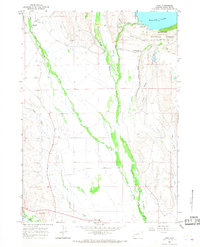
1964 Map of Cora
USGS Topo · Published 1978About this map
The confluence of the New Fork River and Willow Creek dominates this high-plains landscape, where ranching and early Wyoming history intersect. Established homesteads like Bar Cross Ranch and Binning Ranch are mapped alongside the small settlement of Cora, reflecting the region's enduring cattle-rearing heritage during the mid-1960s. The presence of the Binning Landing Strip indicates the necessity of private aviation for transport and land management in this expansive territory.
Find a feature on this map
18 named features on this map. Tap any name to fly to it.
Don’t see what you’re looking for? This feature index may not catch every label — zoom into the map to look around manually.
Map Details
Editions of this 1964 Cora Map
2 editions found
Other maps of this area

1907 · Gros Ventre
USGS Topo · 1:125,000
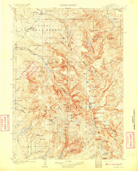
1909 · Fremont Peak
USGS Topo · 1:125,000

1910 · Gros Ventre
USGS Topo · 1:125,000
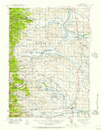
1939 · Big Piney
USGS Topo · 1:125,000
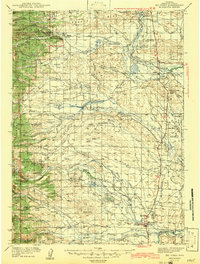
1942 · Big Piney
USGS Topo · 1:125,000

1955 · Driggs
USGS Topo · 1:250,000

1955 · Preston
USGS Topo · 1:250,000

1955 · Thermopolis
USGS Topo · 1:250,000

1955 · Lander
USGS Topo · 1:250,000

1958 · Driggs
USGS Topo · 1:250,000