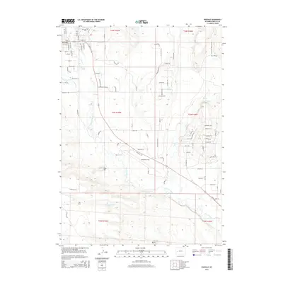
2015 Map of Pinedale
USGS Topo · Published 2015About this map
Pinedale sits at the gateway to the Wind River Range, where the grid of its residential streets, including N Ashley Ave and E Magnolia St, meets the expansive Wyoming high country. The town's historical foundations are visible at the Plainview Cem north of the center, while the local aviation history is represented by Ralph Wenz Field to the south. The landscape is defined by the complex hydrology of the New Fork River and its tributaries, Pine Cr and Pole Cr, which sustain local agriculture and ranching operations like those found along Old Brazill Ranch Rd. Elevation changes are marked by distinctive landmarks such as Ruby Hill, The Mesa, and Two Buttes. This 2015 survey reveals a community deeply integrated with its physical geography, where modern infrastructure like Anticline Rd navigates around natural features such as Desert Reservoir Number 3.
Find a feature on this map
90 named features on this map. Tap any name to fly to it.
Don’t see what you’re looking for? This feature index may not catch every label — zoom into the map to look around manually.
Map Details
Editions of this 2015 Pinedale Map
This is the sole edition of this map. No revisions or reprints were ever made.
Other maps of this area

1955 · Lander
USGS Topo · 1:250,000

1958 · Lander
USGS Topo · 1:250,000

1961 · Lander
USGS Topo · 1:250,000

1964 · Two Buttes Reservoir
USGS Topo · 1:24,000

1964 · Boulder Lake
USGS Topo · 1:24,000

1964 · Mount Airy
USGS Topo · 1:24,000

1964 · Mesa Spring
USGS Topo · 1:24,000
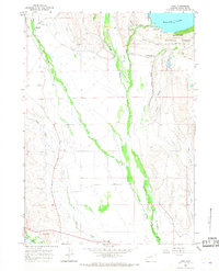
1964 · Cora
USGS Topo · 1:24,000

1964 · Boulder
USGS Topo · 1:24,000
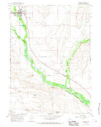
1964 · Pinedale
USGS Topo · 1:24,000