2021 Map of Pinedale
USGS Topo · Published 2021About this map
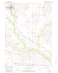
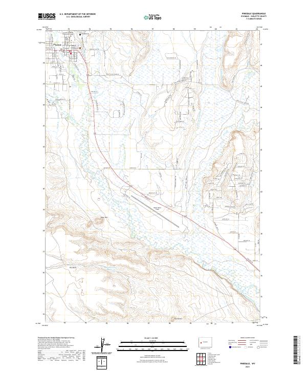
Pinedale serves as the focal point of this modern survey, where the town's street grid is clearly defined between Pine Cr and the expansive terrain to the south. As the seat of Sublette County, the map details civic and educational hubs including the Sublette County Courthouse and a branch of Western Wyoming Community College. The landscape is characterized by a sophisticated network of water management features, such as Lee Ditch, Highland Ditch, and Paradise Ditch, which redirect water across the high plains for ranching and agricultural use.
Find a feature on this map
107 named features on this map. Tap any name to fly to it.
Don’t see what you’re looking for? This feature index may not catch every label — zoom into the map to look around manually.
Map Details
Editions of this 2021 Pinedale Map
This is the sole edition of this map. No revisions or reprints were ever made.
Historical Maps of Pinedale Through Time
3 maps found