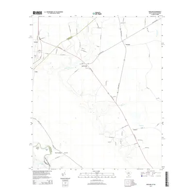
2014 Map of Pineland
USGS Topo · Published 2014About this map
Robertville and Pineland anchor this survey of the low-lying Jasper County interior, where the landscape is defined by the winding course of the Black Swamp and its various tributaries like Cypress Br. The area reflects a deep-rooted agricultural and rural heritage, notably marked by the Swan Hill Plantation and numerous named roads such as Cotton Hill Rd and Gillison Branch Rd. Family and community history is preserved at the Black Swamp Cem and Bostic Cem, which sit near the northern settlements. To the south, the topography shifts toward the Savannah River basin, featuring the Sand Hills and riverine markers like New Landing, Sisters Cut, and Kennedy Lake. The network of local roads and natural watercourses illustrates the traditional transit patterns between these small South Carolina communities before modern development changed the rural character.
Find a feature on this map
65 named features on this map. Tap any name to fly to it.
Don’t see what you’re looking for? This feature index may not catch every label — zoom into the map to look around manually.
Map Details
Editions of this 2014 Pineland Map
This is the sole edition of this map. No revisions or reprints were ever made.
Other maps of this area

1919 · Pineland
USGS Topo · 1:62,500

1919 · Shirley
USGS Topo · 1:62,500

1919 · Egypt
USGS Topo · 1:62,500

1920 · Hardeeville
USGS Topo · 1:62,500

1939 · Egypt
USGS Topo · 1:62,500

1943 · Pineland
USGS Topo · 1:62,500

1943 · Hardeeville
USGS Topo · 1:62,500

1943 · Egypt
USGS Topo · 1:62,500

1943 · Shirley
USGS Topo · 1:62,500

1947 · Savannah
USGS Topo · 1:250,000