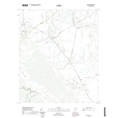
2020 Map of Pineland
USGS Topo · Published 2020About this map
The Savannah River defines the southwestern corner of this coastal plain landscape, where the state boundary between South Carolina and Georgia follows the river's winding course. Low-lying wetlands and sluggish water bodies like Black Swamp and Snooks Lake dominate the terrain, illustrating the hydrologic complexity of the region. The settlement pattern is anchored by small crossroads and riverside communities including Robertville, Garnett, and Tarboro. Local history and genealogy are preserved at the Black Swamp Cem and Bostic Cem near the northwestern edge of the map. The road network, featuring routes such as Cotton Hill Rd and Gillison Branch Rd, connects these rural outposts across a landscape of managed timberlands and drainage features like Cypress Br and Sisters Cut. This area remains a window into the traditional land use of the South Carolina Lowcountry.
Find a feature on this map
55 named features on this map. Tap any name to fly to it.
Don’t see what you’re looking for? This feature index may not catch every label — zoom into the map to look around manually.
Map Details
Editions of this 2020 Pineland Map
This is the sole edition of this map. No revisions or reprints were ever made.
Other maps of this area

1919 · Pineland
USGS Topo · 1:62,500

1919 · Shirley
USGS Topo · 1:62,500

1919 · Egypt
USGS Topo · 1:62,500

1920 · Hardeeville
USGS Topo · 1:62,500

1939 · Egypt
USGS Topo · 1:62,500

1943 · Pineland
USGS Topo · 1:62,500

1943 · Hardeeville
USGS Topo · 1:62,500

1943 · Egypt
USGS Topo · 1:62,500

1943 · Shirley
USGS Topo · 1:62,500

1947 · Savannah
USGS Topo · 1:250,000