
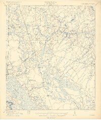
1919 Map of Pineland
USGS Topo · Published 1919About this map
Pineland and the surrounding Lowcountry landscape appear here as a network of small agricultural settlements and timber interests just after the First World War. The region is defined by its intricate water systems, including the expansive Caiipen Ray and the dark reaches of Coosawhatchie Swamp. These wetlands dictate the placement of early settlements like Robertville and Gillisonville, which are connected by a series of roads and the Southern railroad line. Local industry is anchored by features such as Highsmith's Sawmill, illustrating the era's reliance on the surrounding pine forests.
Find a feature on this map
55 named features on this map. Tap any name to fly to it.
Don’t see what you’re looking for? This feature index may not catch every label — zoom into the map to look around manually.
Map Details
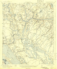
Editions of this 1919 Pineland Map
3 editions found
Other maps of this area

1918 · Varnville
USGS Topo · 1:62,500

1918 · Yemassee
USGS Topo · 1:62,500

1919 · Shirley
USGS Topo · 1:62,500

1919 · Cummings
USGS Topo · 1:62,500

1919 · Egypt
USGS Topo · 1:62,500

1920 · Hardeeville
USGS Topo · 1:62,500

1920 · Okatie
USGS Topo · 1:62,500

1920 · Peeples
USGS Topo · 1:62,500

1939 · Egypt
USGS Topo · 1:62,500

1942 · Okatie
USGS Topo · 1:62,500