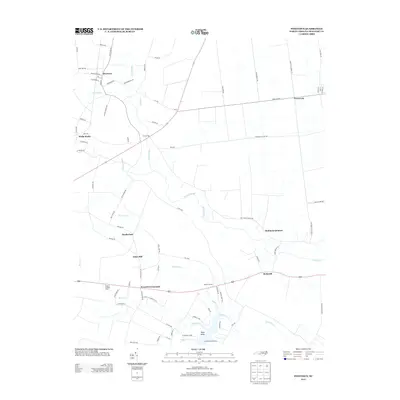
2013 Map of Pinetown
USGS Topo · Published 2013About this map
Pinetown anchors the northern reaches of this coastal plain landscape, where a network of wetlands and creeks defines the local geography. The map reveals a community structured by its hydrology, with drainage features like Acre Swamp and Pungo Swamp weaving between established settlements. Local industry and historic homesteads are evidenced by named locales such as Oden Mill and Boyds Fork, while the Everett Lookout Tower stands as a prominent landmark near Everetts Crossroads. To the south, the terrain meets the waters of Bath Cr and Boyd Cr at Boyd Point, highlighting the transition to the riverside communities of Peninsula Acres and Leeward Seine Beach. This 2013 survey provides a clear look at the contemporary road network, including the path of Nascar Ln and Christian School Rd, which link these small Beaufort County hamlets.
Find a feature on this map
86 named features on this map. Tap any name to fly to it.
Don’t see what you’re looking for? This feature index may not catch every label — zoom into the map to look around manually.
Map Details
Editions of this 2013 Pinetown Map
This is the sole edition of this map. No revisions or reprints were ever made.
Other maps of this area

1914 · Belhaven
USGS Topo · 1:48,000

1916 · Belhaven
USGS Topo · 1:62,500

1943 · Plymouth
USGS Topo · 1:125,000

1950 · Pinetown
USGS Topo · 1:24,000

1951 · Bunyan
USGS Topo · 1:24,000

1951 · Bath
USGS Topo · 1:24,000

1951 · Ransomville
USGS Topo · 1:24,000

1951 · Pantego
USGS Topo · 1:24,000

1953 · Blounts Bay
USGS Topo · 1:24,000

1953 · Rocky Mount
USGS Topo · 1:250,000