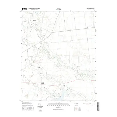
2016 Map of Pinetown
USGS Topo · Published 2016About this map
Pinetown anchors this portion of coastal North Carolina, where low-lying drainage systems like Acre Swamp and Pungo Swamp define the inland landscape. The area is characterized by small, dispersed rural settlements and crossroads that reflect the agricultural and timber history of Beaufort County. Local family-named locales such as Boyds Fork, Oden Mill, and Rodmans Quarter are interconnected by a network of rural roads, including Shiloh Church RD and Free Union Church RD. To the south, the terrain meets the water at Boyd Point, where Harvey Cr and Rowland Cr flow toward the Sound. This mapping shows the modern residential layout of Peninsula Acres and the quiet hamlets of Terra Ceia and Beckwith, preserving the mid-2010s geography of these established farming communities.
Find a feature on this map
67 named features on this map. Tap any name to fly to it.
Don’t see what you’re looking for? This feature index may not catch every label — zoom into the map to look around manually.
Map Details
Editions of this 2016 Pinetown Map
This is the sole edition of this map. No revisions or reprints were ever made.
Other maps of this area

1914 · Belhaven
USGS Topo · 1:48,000

1916 · Belhaven
USGS Topo · 1:62,500

1943 · Plymouth
USGS Topo · 1:125,000

1950 · Pinetown
USGS Topo · 1:24,000

1951 · Bunyan
USGS Topo · 1:24,000

1951 · Bath
USGS Topo · 1:24,000

1951 · Ransomville
USGS Topo · 1:24,000

1951 · Pantego
USGS Topo · 1:24,000

1953 · Blounts Bay
USGS Topo · 1:24,000

1953 · Rocky Mount
USGS Topo · 1:250,000