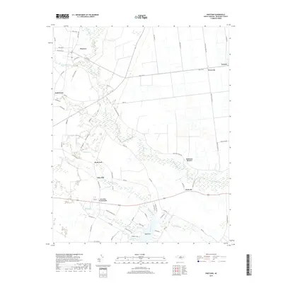
2019 Map of Pinetown
USGS Topo · Published 2019About this map
Pinetown and the surrounding Beaufort County lowlands are defined by an intricate network of wetlands and small agricultural communities. This coastal plain landscape is heavily shaped by drainage patterns, where Acre Swamp, Fork Swamp, and Pungo Swamp dominate the interior. The settlement pattern reflects the importance of crossroads and water access, with established locales like Everetts Crossroads and Boyds Fork serving as local hubs. Along the southern edge, the terrain transitions toward the water, where Bath Creek and Harvey Creek flow toward the Pamlico River system, framing the residential development at Peninsula Acres near Boyd Point. The presence of Oden Mill and namesake roads like Shiloh Church Rd and Free Union Church Rd points to the area's long-standing rural community foundations.
Find a feature on this map
73 named features on this map. Tap any name to fly to it.
Don’t see what you’re looking for? This feature index may not catch every label — zoom into the map to look around manually.
Map Details
Editions of this 2019 Pinetown Map
This is the sole edition of this map. No revisions or reprints were ever made.
Other maps of this area

1914 · Belhaven
USGS Topo · 1:48,000

1916 · Belhaven
USGS Topo · 1:62,500

1943 · Plymouth
USGS Topo · 1:125,000

1950 · Pinetown
USGS Topo · 1:24,000

1951 · Bunyan
USGS Topo · 1:24,000

1951 · Bath
USGS Topo · 1:24,000

1951 · Ransomville
USGS Topo · 1:24,000

1951 · Pantego
USGS Topo · 1:24,000

1953 · Blounts Bay
USGS Topo · 1:24,000

1953 · Rocky Mount
USGS Topo · 1:250,000