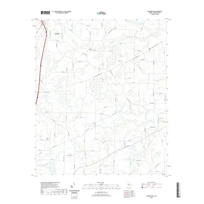
2020 Map of Pineview NW
USGS Topo · Published 2020About this map
Unadilla anchors the northwest corner of this Dooly County landscape, where the transition from a defined street grid quickly gives way to a sprawling network of rural roads and agricultural drainages. This area is characterized by its numerous small-scale water features and creeks, such as Wildcat Cr, S Prong Cr, and Cedar Cr, which carve through the terrain between expansive fields and woodland patches. The placement of small reservoirs like Griggs South Lake and Peavy Lake indicates a landscape heavily modified for local water management and recreation.
Find a feature on this map
90 named features on this map. Tap any name to fly to it.
Don’t see what you’re looking for? This feature index may not catch every label — zoom into the map to look around manually.
Map Details
Editions of this 2020 Pineview NW Map
This is the sole edition of this map. No revisions or reprints were ever made.
Other maps of this area

1956 · Perry
USGS Topo · 1:62,500

1957 · Macon
USGS Topo · 1:250,000

1958 · Macon
USGS Topo · 1:250,000

1964 · Macon
USGS Topo · 1:250,000

1971 · Pineview West
USGS Topo · 1:24,000

1971 · Pineview NW
USGS Topo · 1:24,000

1971 · Pineview SW
USGS Topo · 1:24,000

1971 · Henderson
USGS Topo · 1:24,000

1971 · Pinehurst
USGS Topo · 1:24,000

1972 · Finleyson West
USGS Topo · 1:24,000