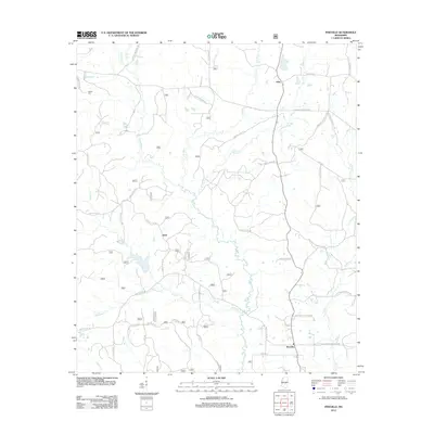
2012 Map of Pineville
USGS Topo · Published 2012About this map
Leaf River headwaters and winding creek systems define this section of the Mississippi piney woods. Small rural communities like Pineville, Klein, and Otho are connected by a network of county and forest service roads, reflecting the region's long-standing reliance on timber and agricultural travel. The landscape is deeply etched by a complex drainage pattern including Tallabogue, Turkey Cr, and Tishkill Cr. Genealogy researchers may find particular interest in the location of the Noblin Cem in the northwest, situated near the intersection of Old Homewood RD and Windham RD. The map illustrates the contemporary road infrastructure, from local routes like Sorey RD to the sprawling Shopping Center RD 500 corridors, providing a clear view of the area's rural development in the early twenty-first century.
Find a feature on this map
49 named features on this map. Tap any name to fly to it.
Don’t see what you’re looking for? This feature index may not catch every label — zoom into the map to look around manually.
Map Details
Editions of this 2012 Pineville Map
This is the sole edition of this map. No revisions or reprints were ever made.
Other maps of this area

1921 · Forest
USGS Topo · 1:48,000

1922 · Forest
USGS Topo · 1:62,500

1922 · Morton
USGS Topo · 1:48,000

1924 · Morton
USGS Topo · 1:62,500

1950 · Forest
USGS Topo · 1:62,500

1951 · Morton
USGS Topo · 1:62,500

1952 · Forest
USGS Topo · 1:62,500

1953 · Meridian
USGS Topo · 1:250,000

1957 · Meridian
USGS Topo · 1:250,000

1965 · Meridian
USGS Topo · 1:250,000