2017 Map of Pingree
USGS Topo · Published 2017About this map
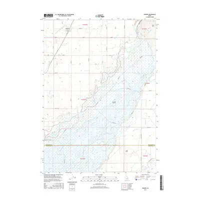
Fort Hall Bottoms dominates this portion of the Snake River Valley, where the winding course of the Snake River meets an intricate network of early 21st-century irrigation infrastructure. The settlement of Pingree sits in the northwest, serving as a hub for the agricultural lands bounded by the Aberdeen Springfield Canal and Lateral B. This landscape is defined by the transition from the river's riparian wetlands to the elevated topography of Ferry Butte and Cedar Butte.
Find a feature on this map
56 named features on this map. Tap any name to fly to it.
Don’t see what you’re looking for? This feature index may not catch every label — zoom into the map to look around manually.
Map Details
Editions of this 2017 Pingree Map
This is the sole edition of this map. No revisions or reprints were ever made.
Other maps of this area

1934 · Michaud
USGS Topo · 1:62,500

1937 · Pocatello
USGS Topo · 1:48,000

1937 · Michaud
USGS Topo · 1:62,500

1940 · Blackfoot
USGS Topo · 1:62,500

1943 · Blackfoot
USGS Topo · 1:62,500

1944 · Pocatello
USGS Topo · 1:62,500

1954 · Pocatello
USGS Topo · 1:250,000

1955 · Springfield NW
USGS Topo · 1:24,000

1955 · Rockford
USGS Topo · 1:24,000

1955 · Pingree
USGS Topo · 1:24,000