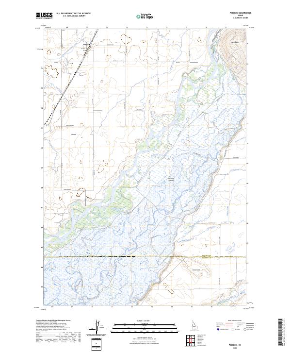
2023 Map of Pingree
USGS Topo · Published 2023About this map
The Snake River dominates this portion of Bingham County, creating the sprawling wetland environment of the Fort Hall Bottoms. The landscape is a complex intersection of natural watercourses and an extensive irrigation network designed to support the agricultural community around Pingree. Major infrastructure like the Aberdeen Springfield Canal, Emma Canal, and Gibson Canal divert water across the plains, while natural features like Mud Slough and Jeff Cabin Creek meander through the river's flood zone.
Find a feature on this map
53 named features on this map. Tap any name to fly to it.
Don’t see what you’re looking for? This feature index may not catch every label — zoom into the map to look around manually.
Map Details
Editions of this 2023 Pingree Map
This is the sole edition of this map. No revisions or reprints were ever made.
Other maps of this area

1934 · Michaud
USGS Topo · 1:62,500

1937 · Pocatello
USGS Topo · 1:48,000

1937 · Michaud
USGS Topo · 1:62,500

1940 · Blackfoot
USGS Topo · 1:62,500

1943 · Blackfoot
USGS Topo · 1:62,500

1944 · Pocatello
USGS Topo · 1:62,500

1954 · Pocatello
USGS Topo · 1:250,000

1955 · Springfield NW
USGS Topo · 1:24,000

1955 · Rockford
USGS Topo · 1:24,000

1955 · Pingree
USGS Topo · 1:24,000