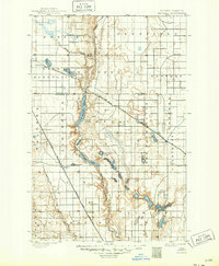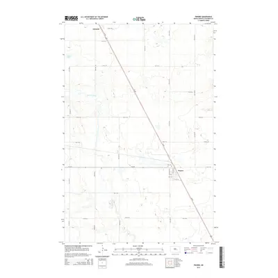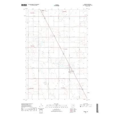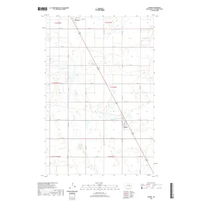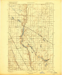
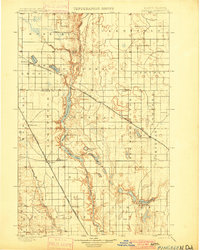
1900 Map of Pingree
USGS Topo · Published 1921About this map
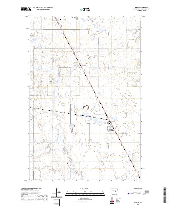
The James River valley carves a deep, winding path through this central North Dakota landscape, creating a chain of interconnected water bodies including Arrowwood Lake, Jim Lake, and Mud Lake. Published in 1921 but based on 1900 surveys, the map documents the arrival of the railroad as the primary engine of settlement across the prairie. Two major lines intersect the region: the Northern Pacific RR running north-south through Pingree, and the Minneapolis St. Paul and Sault Ste. Marie RR cutting diagonally through Kensal and Courtenay. These rail corridors established the early grain-handling hubs and community centers like Buchanan, Edmunds, and Bordulac during a period of rapid agricultural expansion. Away from the tracks, the terrain is dotted with glacial features such as Spiritwood Lake and Medicine Lake, surrounded by wide townships like New Washington and Courtenay.
Find a feature on this map
36 named features on this map. Tap any name to fly to it.
Don’t see what you’re looking for? This feature index may not catch every label — zoom into the map to look around manually.
Map Details
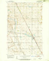
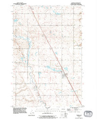
Editions of this 1900 Pingree Map
2 editions found
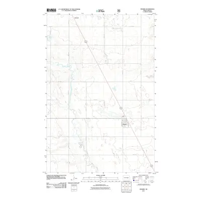
Historical Maps of Fried Through Time
9 maps found