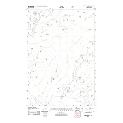
2011 Map of Pinkham Butte
USGS Topo · Published 2011About this map
North Fork Asotin Creek and its many tributaries carve a complex network of ridges and canyons across this portion of Asotin County. The landscape is defined by its topographic extremes, from the heights of Pinkham Butte and Huckleberry Ridge to the depths of Horsethief Canyon. This area of the Blue Mountains shows a sparse pattern of human activity focused on seasonal use and ranching, evidenced by the Horak Ranch and recreation spots like Wickiup Campground.
Find a feature on this map
54 named features on this map. Tap any name to fly to it.
Don’t see what you’re looking for? This feature index may not catch every label — zoom into the map to look around manually.
Map Details
Editions of this 2011 Pinkham Butte Map
This is the sole edition of this map. No revisions or reprints were ever made.
Other maps of this area

1937 · Pomeroy
USGS Topo · 1:96,000

1942 · Pomeroy
USGS Topo · 1:125,000

1943 · Peola
USGS Topo · 1:62,500

1943 · Saddle Butte
USGS Topo · 1:62,500

1946 · Saddle Butte
USGS Topo · 1:62,500

1946 · Peola
USGS Topo · 1:62,500

1955 · Pullman
USGS Topo · 1:250,000

1958 · Pullman
USGS Topo · 1:250,000

1967 · Rose Springs
USGS Topo · 1:24,000

1967 · Stentz Spring
USGS Topo · 1:24,000